Top Travel Articles
Our Most Popular Tips
Aloha from HawaiiGuide
Your Trusted Guides to Hawai'i
- Since 2002, our Hawai'i website has virtually assisted tens of millions of visitors in the process of planning and booking the Hawaiian vacation of their dreams.
- Whether you’re a first-time visitor or a seasoned island hopper, we’re here to make your trip to Hawaii stress-free, seamless, and unforgettable.
- Whether you’re looking for hidden gems, must-see attractions, cultural experiences, or expert tips to make the most of your trip, we’ve got you covered.
HawaiiGuide.com was created by John and Tori Derrick, a husband-and-wife team of certified Hawaii destination experts.
- We share a passion for the islands and a knack for helping travelers create unforgettable Hawaiian adventures.
- Think of us as your personal connection to Hawaii - sharing insider tips, handpicked recommendations, and decades of experience to help you plan the ultimate Hawaiian getaway.
- We aim to help travelers responsibly explore and authentically connect with Hawaii's beauty, culture, and rich history.

Explore, Connect,
& Experience Hawaii ™
Aloha! Embarking on a journey to Hawaii is more than just a vacation; it’s an opportunity to immerse yourself in the rich tapestry of the islands’ culture, landscapes, and traditions.
Our “Explore, Connect, Hawaii” campaign is designed to guide you through this transformative experience, ensuring that your visit is both enriching and respectful to the 'aina (land) and its people.
Not sure which island is best for you?
Take our 'Which Hawaii Island?' + Best Island Quiz →

Kamapua'a
Help Malama (Care) for Hawaii
As visitors and locals, it is our shared kuleana (responsibility) to malama (care) for this extraordinary place, ensuring that future generations can experience its beauty just as we do today.
Mahalo (thank you) for your kokua (help).
Click any hyperlinked word in this paragraph to learn more about the Hawaiian Language and words you might want to know for your trip to the Aloha state.
Responsible Travel
- We believe in promoting responsible travel and sustainable/regenerative tourism.
- Hawaii is so much more than just a place to visit; it's a place you come to experience. It's a place you can come to give back.
Hawaii’s Leading Independent Travel Resource
20+ Years of Hawaii Experience
• For over 20 years, we’ve been the leading, trusted, and unbiased independent resource for planning dream vacations to Hawaii.
• Here, you'll find Hawaii’s Most Comprehensive Independent Travel Guide.

Hawaii Getting Started
Where to Begin...
We've assembled this website and organized it accordingly to help make your Hawaiian vacation seamless, from start to finish.
Whether you’re looking for hidden gems, must-see attractions, cultural experiences, or expert tips to make the most of your trip, we’ve got you covered.
If you're just getting starting, we recommend you begin your journey here.
Comprehensive Hawaii
Expert Tips for Your Trip
A favorite getaway for people worldwide, Hawai'i has become famous for its:
- Miles of Scenic Beaches
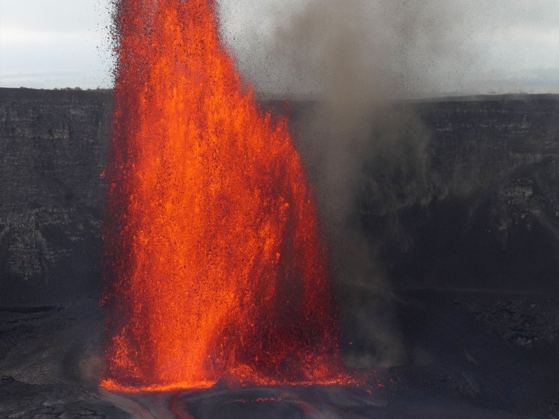
- Erupting Volcanoes
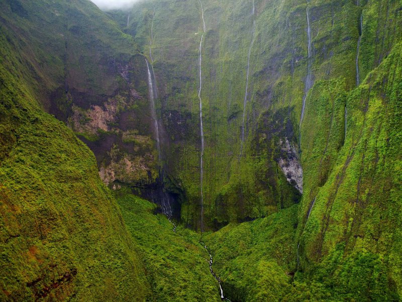
- Incredible Waterfalls
- Exquisite Dining and Food
- and exotic Flora and Fauna
With nearly 40 years of combined experience in Hawaii tourism, our certified travel experts provide trusted insights & guidance.
Visit Hawaii Safely
Natural Hazards in Hawaii
Grab Your Free Guides!
Hawaii Intro Visitor Guide
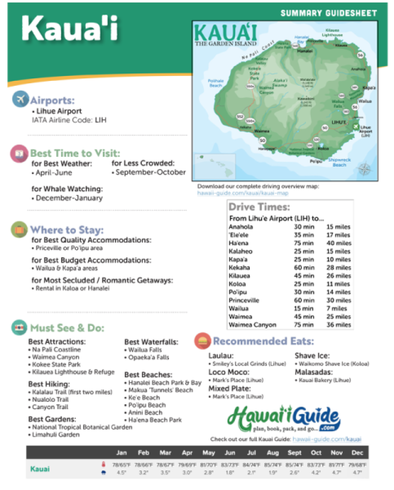
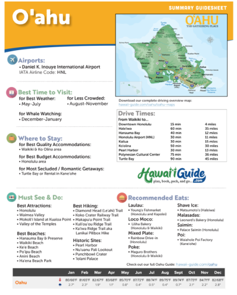
+ Our Summary Guidesheets!
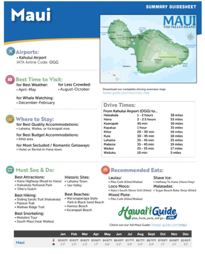
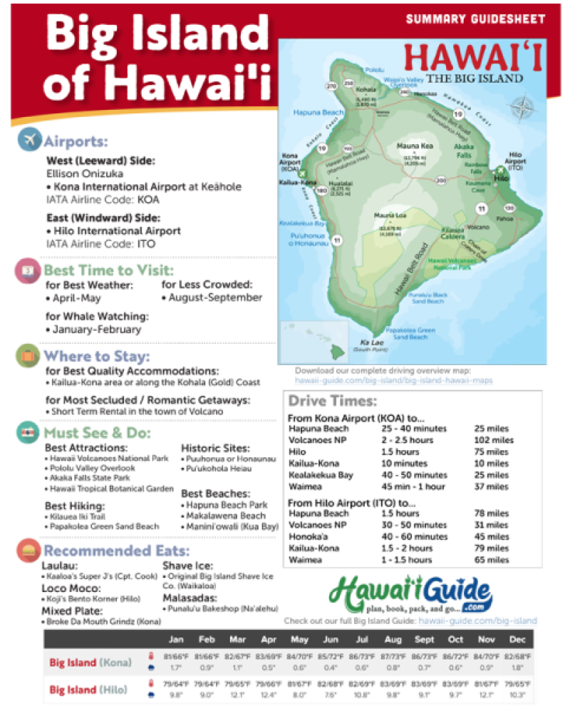
Includes the top must-see & do attractions, best times to visit, a monthly weather & visitor summary, and our tips on how to save when booking your car rental, tours, and activities. Plus, grab our free Hawaii Summary Guidesheets.
Eclectic Hawaii
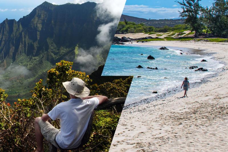
A Place of Contrasts
Hawaii is a land of incredible diversity, beauty, and many contradictions.
The permeating spirit of Aloha, the rich culture of the people, and the sacred and historical traditions passed down for generations continue to define these isolated islands.
Mother Nature pulled out all the stops when forming this incredible place.
From lush rainforests to barren deserts, Hawaii is as eclectic a place as you'll ever visit.


