We may earn a commission when you book or buy through links on this page.
Sun Yat-Sen Memorial Park
Located within the Upcountry Maui & Haleakala Region on Maui
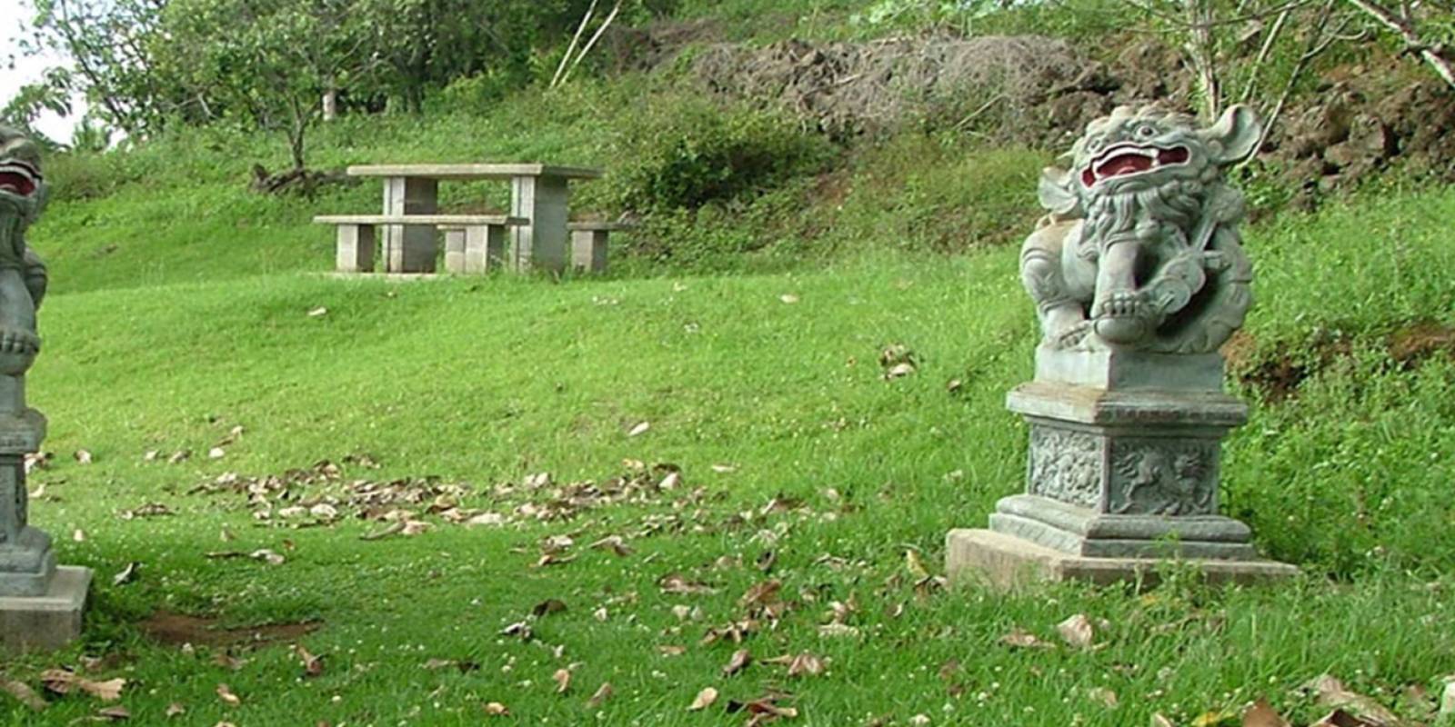
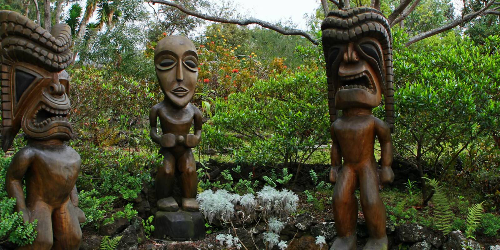
Sun Yat-Sen Memorial Park is a small roadside park in Keokea (makai) between mile markers 18 and 19. It is about 2,400 feet above the south Maui coast and scenic views here are excellent. Who was Sun Yat-Sen? Dr. Sun Yat-Sen (1866-1925) was a revolutionary in China and a political leader who was often referred to as the father of modern China. Yat-Sen served as the first provisional president when the Republic of China was founded in 1912, after the overthrow of the Qing Dynasty a year before. The 'Ulupalakua ranch donated the land for the park in 1989. Today the park features a bronze statue of Yat-Sen along with a few other memorial statues.
Explore smarter
Turn this stop into a better day plan.
Use maps, timing, access checks, and current conditions before adding another stop to the route.
From this location you can get some spectacular scenic views, including an excellent view of the surrounding Hawaiian Islands offshore: Kaho'olawe (the larger one to the left), uninhabited after decades of use as a bombing range and Molokini (the smaller one in front of Kaho'olawe), a semi-circular island. Its deep cove is a very popular snorkeling spot. Off to your left, near the shoreline, is the Pu'u Ola'i cinder cone in Makena State Park. Directly ahead of you on the horizon is Lana'i and to your right are the West Maui Mountains, likely draped in clouds. One last great thing about this vantage point is the incredible sunsets. If you are lucky enough to be at this location late in the day before the sun sets, you will get a color show unlike anything you've ever seen.
Founder & certified Hawai'i travel expert with 20+ years in Hawai'i tourism, University of South Carolina climate-research training, and NOAA weather-station experience.
Oʻahu starts calm and mild with just a few afternoon showers inland. Everything changes Wednesday night when tropical moisture pushes in from the south—an unusual pattern for us. Heavy rain becomes likely through at least Thursday morning, especially on the leeward side where rain doesn't normally fall this heavy. Thunderstorms are possible too. Thursday stays damp and showery as the system lingers, then improves Friday as it weakens, though scattered showers continue. Moderate swell on the south and west shores through the week, with moderate swell also on the north shore from a distant system. Plan indoor activities for Wednesday evening through Thursday morning. Beach days and hikes work better Thursday afternoon on.
0:000:33
Voice
Read the transcript
Maui starts calm with mild conditions through Wednesday afternoon. Wednesday night, deep tropical moisture moves in from the south—a rare pattern for Hawaii—and heavy rain becomes likely, especially on leeward areas. This wet spell continues through Thursday morning, with Thursday staying damp and showery before improving Friday. Southern and western shores will see moderate swell through the week.
Plan indoor or covered activities for Wednesday night through Thursday. Hiking and beach time work better Thursday afternoon onward.
0:000:53
Voice
Read the transcript
Right now it's calm and mild with just a few showers in the interior. Tonight southerly winds move in and heavy rain becomes likely, particularly on the western islands and leeward areas where rain doesn't normally fall. That wet pattern continues through Thursday morning, with thunderstorms possible around Kauai and Oahu. The Big Island will see showers and moisture linger through Thursday. Friday starts to improve as the system weakens, though south winds and scattered showers persist. Trade winds should return by Monday. Moderate swell affects southern and western shores through the week, with possible additional swell on west-facing beaches late week. Plan indoor activities for Wednesday night through Thursday, and save your hiking and beach time for Thursday afternoon onward.
0:000:55
Voice
Read the transcript
Kauaʻi starts calm with a few showers in the interior, and wind shifts to the south Wednesday—unusual for here. Heavy rain moves in Wednesday night and continues through Thursday morning, especially on the west side and leeward areas that normally stay dry. Thunderstorms are possible Wednesday night into Thursday morning. Visibility drops during the heaviest rain.
Friday clears gradually as the system weakens, though scattered showers and southerly wind linger. Weekend conditions improve toward normal, and trade winds return by Monday. Southern and western shores see moderate swell through the week; north shores stay moderate from a system to the northwest.
Plan indoor or covered activities for Wednesday night through Thursday. Daytime Wednesday is fine for outdoor plans. Beach and hiking days look better Thursday afternoon onward.
Created with AI from the official NWS forecast discussion · verify with NWS before heading out