We may earn a commission when you book or buy through links on this page.
Supply Trail
Located within the Upcountry Maui & Haleakala Region on Maui
Guide Snapshot
A quick fit check before you commit to this trail.
Difficulty
Challenging
Distance
About 7 miles round trip
Estimated time
3-5 hours
Elevation & terrain
Steep subalpine climb to Halemauu connection
Family fit
Experienced hikers
Highlights
Haleakala · Birding · Workout
Haleakala National Park Hiking Trails
Haleakala Summit Area
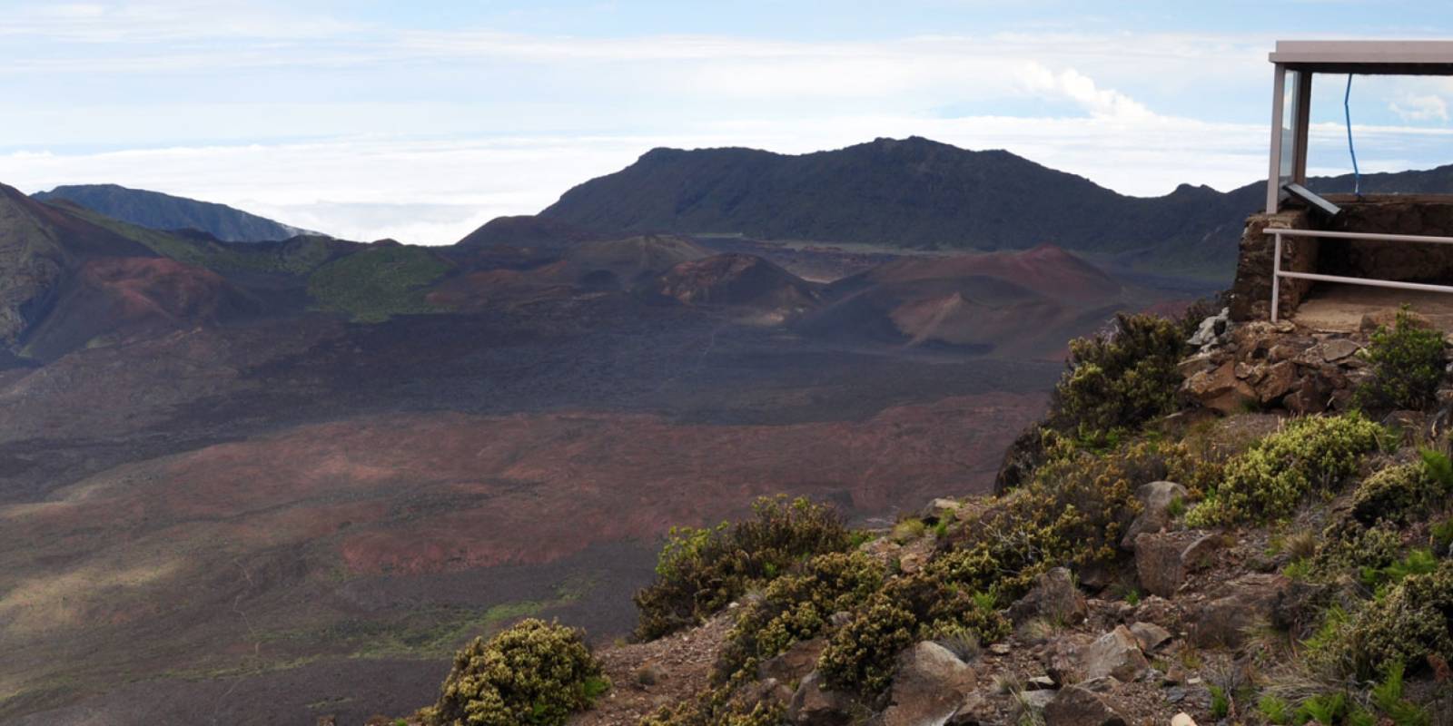
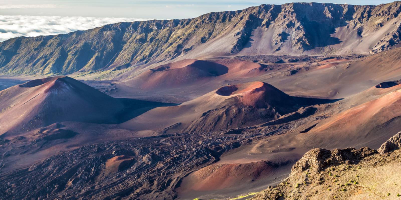
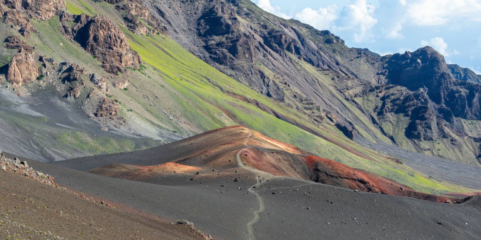
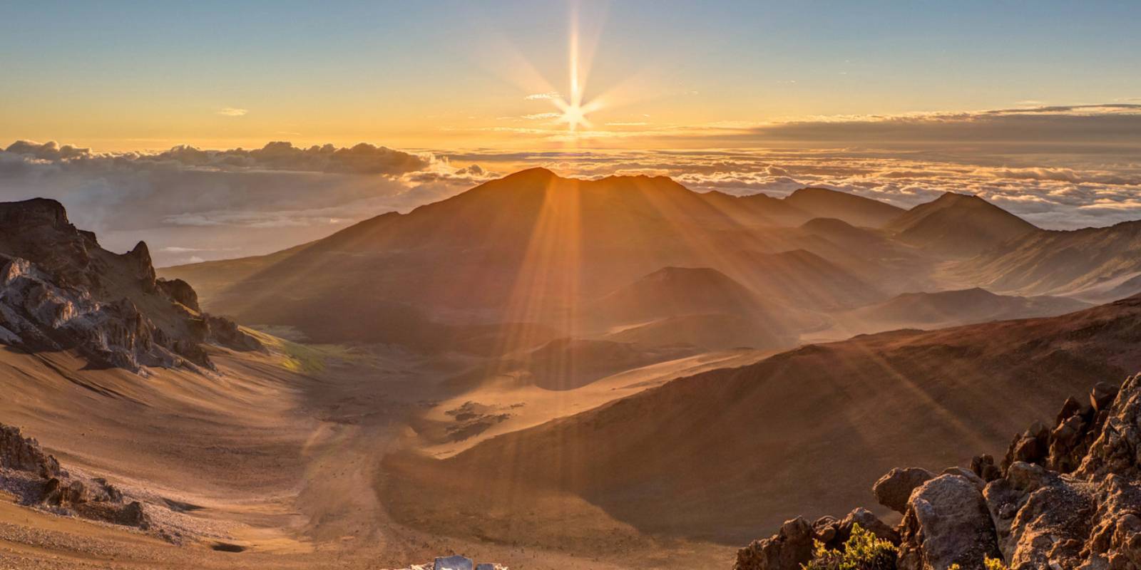
If you’re visiting Haleakala National Park and want a great hike with beautiful views of North Maui, the Haleakala crater, and the chance to observe local Hawaiian plants and wildlife, the Supply Trail offers just what you’re looking for.
Supply Trail starts on the road that leads to Hosmer Grove Trail. Start off by parking your car in the Hosmer Grove campground, where you’ll find a few parking spots along the road. From there, walk back along the road to the trailhead sign. Note that we have heard from folks who say there is no sign here; however, we were lucky enough to spot one on our last hike. If you don’t see one, you’ll still be able to distinguish the trail as you leave the paved road and head into the open field.
Trail day tools
Before you drive to the trailhead, check the trail and weather layer.
Hawaii hikes can change quickly with closures, rain, mud, heat, and daylight.
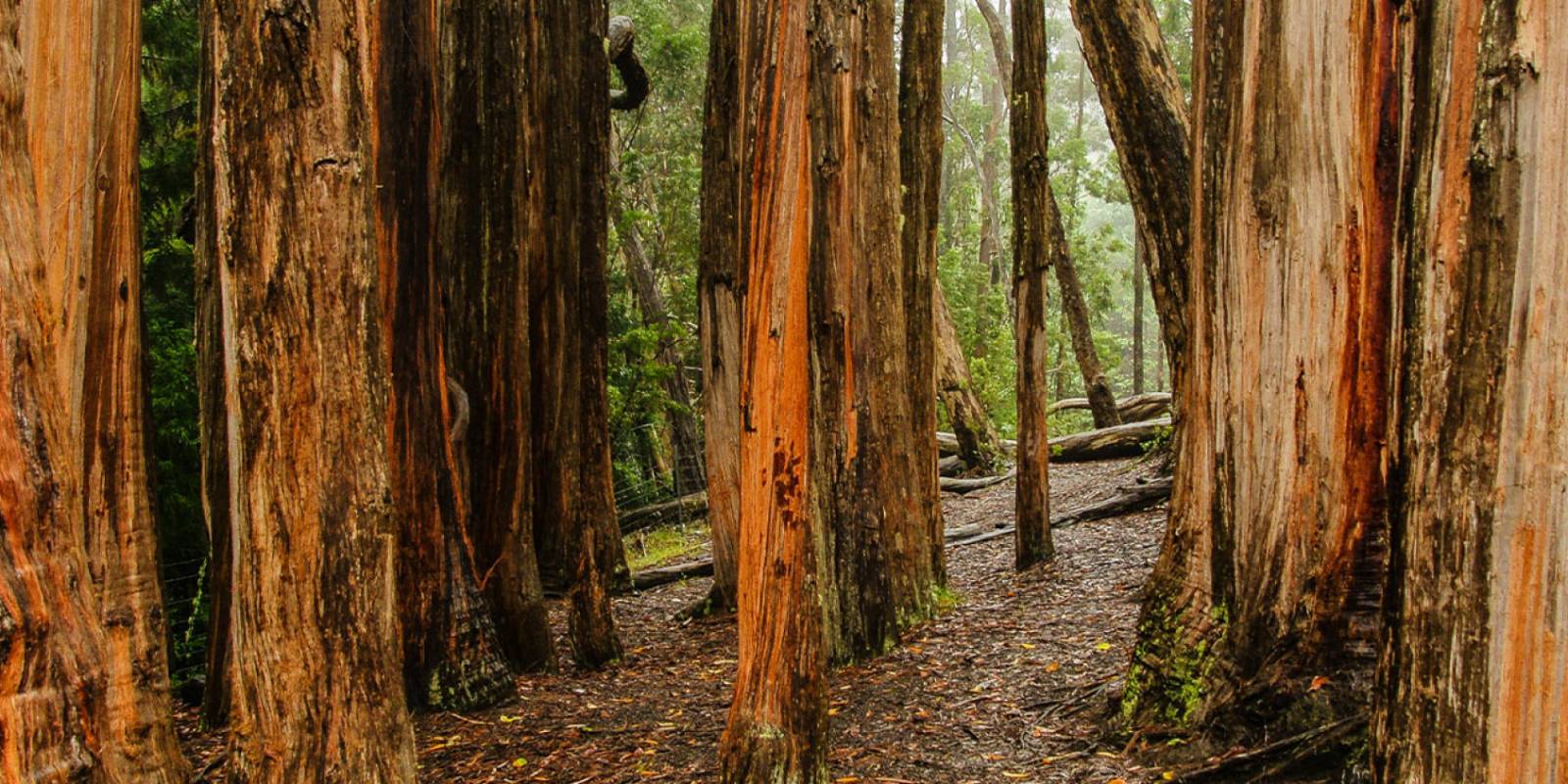
You’ll be trekking through native subalpine shrubland that pervades this area, and some of the brush can be quite high. The trail is rather rocky and it winds up over a series of gentle swithcbacks. This is great opportunity for birdwatching, too.
The Supply Trail is fairly steeply graded from the start, but becomes even steeper as it approaches the connection with the Halemauu Trail at 3.5 miles in.
As you reach the end of the Supply Trail, head down the Halemauu Trail about ¼ mile for some simply spectacular views of Haleakala’s crater.
As with all Haleakala hikes, be sure to have adequate sun protection, as the elevation here means the sun’s rays– even on a cloudy day– are brutal. You’ll also want to have anything else you’ll need for the trail, especially if you’ll be camping. Check out our Haleakala camping packing list for more information.
Founder & certified Hawai'i travel expert with 20+ years in Hawai'i tourism, University of South Carolina climate-research training, and NOAA weather-station experience.
Mostly dry this morning with light to moderate trade winds, a few showers over windward and mountain slopes. Winds weaken and turn south tonight into Wednesday as a low-pressure system develops north of the islands, starting a wet stretch.
Wednesday afternoon through Friday, rain increases across the island, heaviest on south-facing slopes and coasts. Isolated thunderstorms are possible Wednesday night into Thursday. Rain timing and intensity depend on where the rainband sets up. No flood watch is in place yet, but conditions will be wet. Saturday and Sunday clear out as normal trade winds return.
Beach and water activities work best today and early Wednesday; plan indoor time for Wednesday through Friday as rain increases. Save hiking and summit drives for the weekend.
0:000:52
Voice
Read the transcript
Mostly dry right now with light to moderate trade winds. South-facing shores have elevated surf near advisory levels through tonight.
Winds weaken and shift south starting tonight into Wednesday as a low-pressure system develops north of the islands. Wednesday afternoon through Friday, showers and rain increase across Maui, heaviest on south-facing slopes and coasts. Isolated thunderstorms are possible Wednesday night into Thursday. Rain intensity and timing remain uncertain depending on where a rainband sets up—conditions will stay wet and may limit activity.
Saturday into Sunday, normal trade winds return and rain clears. Beach and water activities work best today and early Wednesday; plan indoor time for the wet stretch ahead. Hiking and summit trips are better suited for the weekend.
0:000:44
Voice
Read the transcript
Mostly dry this morning with light to moderate trade winds. Windward and mountain slopes have a few scattered showers.
Winds weaken and turn southerly tonight into Wednesday, and rain increases Wednesday through Friday across the island—heaviest on south-facing slopes and coasts. Isolated thunderstorms are possible Wednesday night into Thursday. Timing and intensity depend on exactly where the rain sets up and how long it lingers. Saturday and Sunday clear out and trade winds return to normal.
Get your beach time in today and early Wednesday morning. Plan indoor activities for the wet stretch, and save hiking and summit drives for Saturday.
0:000:53
Voice
Read the transcript
Mostly dry right now with light to moderate trade winds. Windward and mountain areas have a few scattered showers, but south-facing shores have elevated surf near advisory levels through tonight.
Starting Wednesday, winds weaken and turn south as a low-pressure system develops north of the islands. Rain will increase, heaviest on south-facing slopes and coasts. Isolated thunderstorms are possible Wednesday night into Thursday. Rain intensity and timing are uncertain—it depends on where a rainband sets up and how long it lingers. Saturday and Sunday, normal trade winds return and rain clears out.
Beach and water activities work best today and early Wednesday. Move indoor or covered plans to Wednesday through Friday as rain picks up. Save hiking and summit drives for the weekend.
Created with AI from the official NWS forecast discussion · verify with NWS before heading out