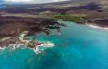
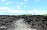
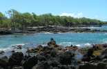
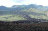
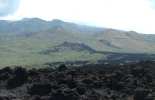
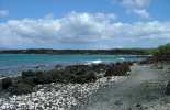
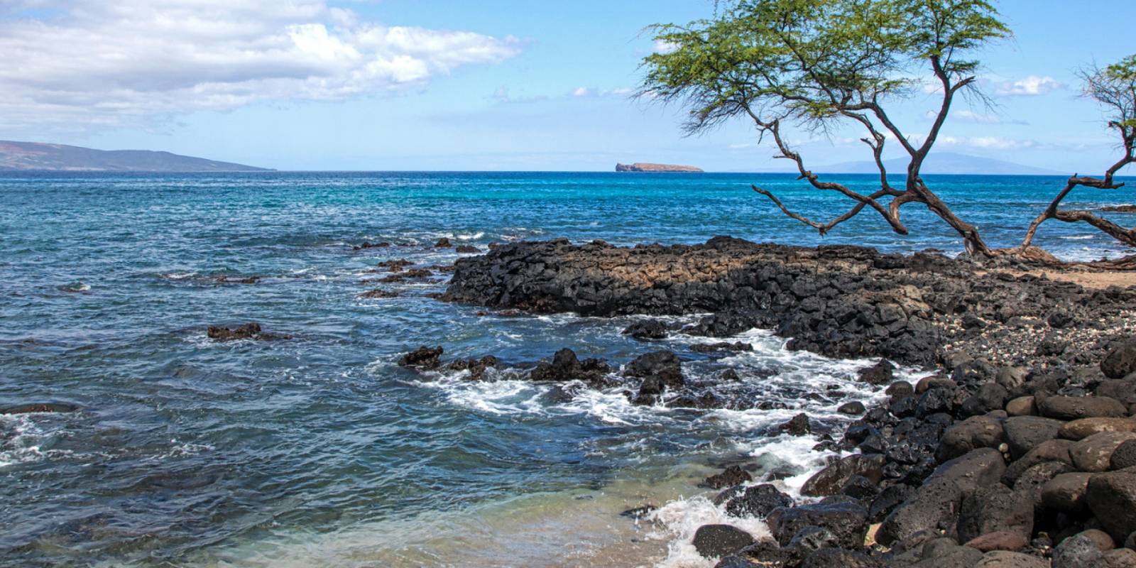
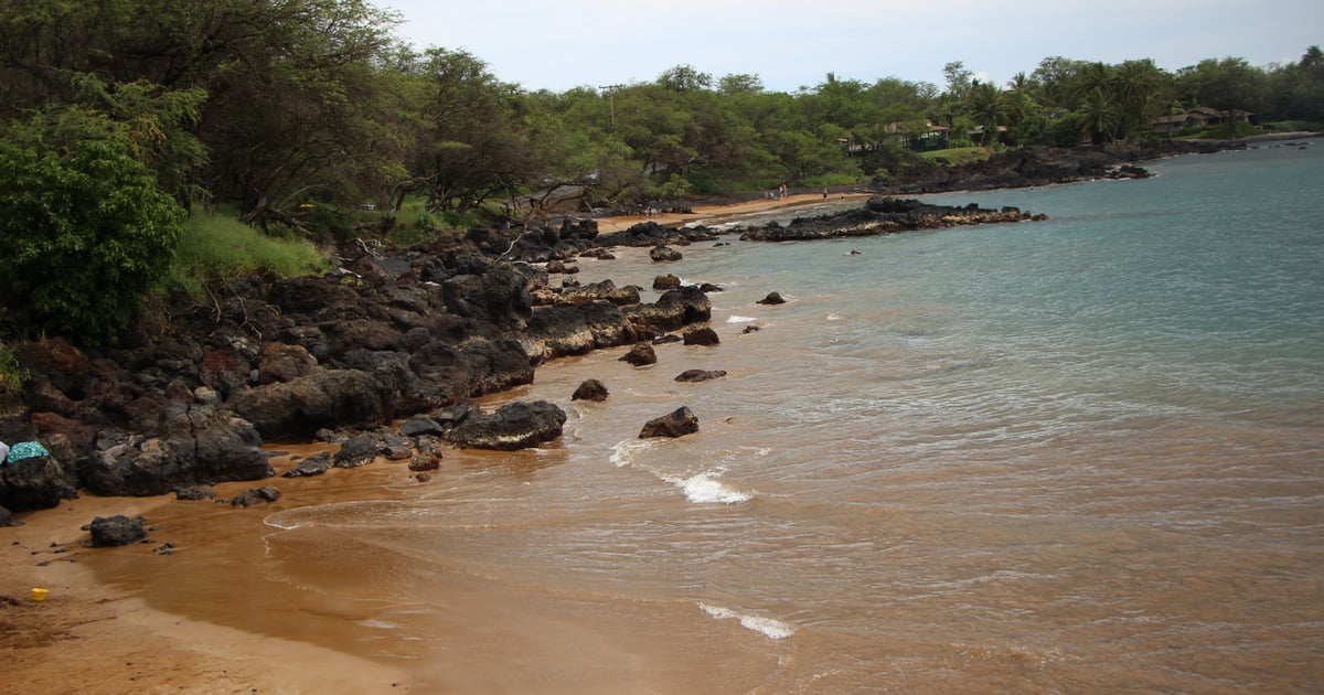
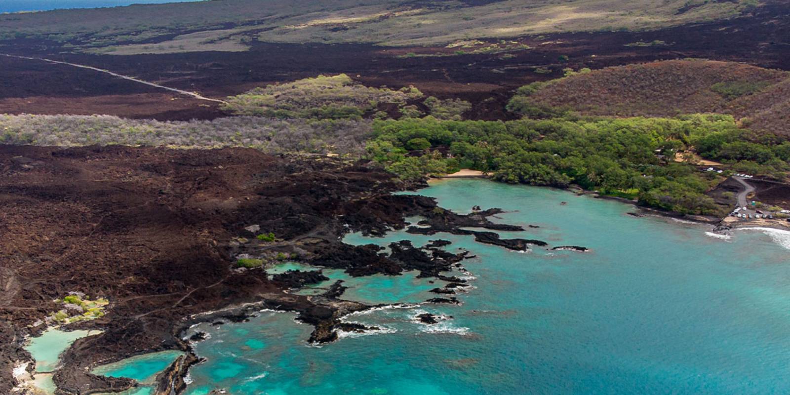
Haleakala's last display can be seen on Maui's southeast shore at La Perouse Bay. Scientists believe that between 1480 and 1600 Haleakala last erupted to form the jagged lava rock coastline. Now there is a monument and ruins of Hawaiian natives who made their home on the sharp a'a lava rock. La Perouse is the end of the road, literally, in south Maui. It is located at mile marker 7 at the very end of Makena Alanui Road. From Kihei take Piilani Hwy south to Wailea. Turn right on Wailea Iki road and bear left on to Wailea Alanui Road which turns into Makena Alanui. Look carefully around you as you drive between mile markers 5.5 and 7. On either side, you should see fields of a'a littering the landscape.
Explore smarter
Turn this stop into a better day plan.
Use maps, timing, access checks, and current conditions before adding another stop to the route.
Just past mile marker 6.5 look mauka (mountain side) and you can see where the lava spewed forth from Kalua o Lapa cinder cone. Once you reach La Perouse Bay you may have to park on the road. Make sure not to park on any lava rock as it can ruin your day with a flat tire. (Trust us we know.) You can walk through the lava and explore the sea estuaries. This is a favorite place for dolphins and local fishermen. Make sure to wear sunscreen and be prepared for a lot of wind.
Founder & certified Hawai'i travel expert with 20+ years in Hawai'i tourism, University of South Carolina climate-research training, and NOAA weather-station experience.
Mostly dry and breezy across Oʻahu today through Monday, with northeast winds holding steady and only light showers popping up on windward slopes. Leeward and resort areas stay dry.
Late Tuesday the pattern shifts. Winds drop and turn southerly, and tropical moisture moves in Wednesday through Friday—heavy rain will hit the islands, with potential flash flood conditions. Timing and intensity are still uncertain, but plan on wet weather. Ocean conditions will be choppy and elevated through Monday, then gradually ease midweek.
Hit the leeward beaches and snorkel sites Monday and Tuesday. Save indoor plans for Wednesday through Friday.
0:000:56
Voice
Read the transcript
Steady northeast winds and mostly dry skies today through Monday. Light showers may pop up on windward slopes and in the mountains, but leeward and resort areas stay mostly dry.
Late Tuesday the pattern shifts. Winds drop and turn southerly, then deep tropical moisture moves in Wednesday through Friday. Heavy rain is likely statewide from late Wednesday onward, with potential flash flood conditions—timing and intensity are still uncertain. Ocean conditions are rough and choppy through Monday on windward shores due to strong winds, then gradually ease mid-week. A slightly larger northwest swell peaks Wednesday, and a west swell from a distant typhoon may bring moderate surf to west-facing Big Island shores by Thursday.
Leeward beaches and snorkeling work well Monday and Tuesday. Save indoor plans for Wednesday through Friday.
0:000:52
Voice
Read the transcript
Steady northeast winds and mostly dry skies today through Monday, with only light showers scattered across windward slopes and the mountains. Leeward and resort areas stay dry. Ocean conditions are rough and choppy—a Small Craft Advisory is in effect through Monday evening.
Late Tuesday brings a shift. Winds drop and turn southerly, and tropical moisture moves in Wednesday through Friday. Plan for heavy rain and potential flash flooding from late Wednesday onward. Timing and intensity are still uncertain. Surf will ease mid-week, though a northwest swell peaks Wednesday and a distant typhoon may send moderate west swell to west-facing shores by Thursday.
Leeward beaches are your play Monday and Tuesday. Plan indoor activities starting Wednesday when the rain arrives.
0:000:50
Voice
Read the transcript
Steady northeast winds are pushing cool, dry air across Kauaʻi right now. Light showers will pop up mainly on windward slopes and mountains through Monday, but leeward and resort areas stay mostly dry.
A pattern shift arrives late Tuesday. Winds will drop and turn southerly, and deep tropical moisture will move in Wednesday through Friday. Heavy rain is likely statewide from late Wednesday onward, with potential flash flood conditions—timing and intensity details are still uncertain. Surf will be choppy and elevated through Monday due to strong winds, then gradually ease mid-week before a slightly larger northwest swell peaks Wednesday.
Leeward beaches and snorkeling are best Monday and Tuesday. Plan indoor activities for Wednesday through Friday.
Created with AI from the official NWS forecast discussion · verify with NWS before heading out
Created with AI from this HawaiiGuide page and read by a computer-generated voice. Double-check fees, hours, and reservations on the full page before you head out. Hawaiian pronunciation is tricky for synthesized speech and a few words may land slightly off; mahalo for your patience as we keep refining.
Mele and Kani are computer-generated voice options chosen for clarity and warmth.
Get Your Free Hawaii Visitor Guide
Enter your email and we'll send you instant access to our free 2026 Hawaii Starter Guide + Summary Guidesheets.


 Been here? Tap to stamp