We may earn a commission when you book or buy through links on this page.
Kuloa Point Trail
Located within the Hana Highway Region on Maui
Guide Snapshot
A quick fit check before you commit to this trail.
Difficulty
Easy
Distance
0.5-mile loop
Estimated time
30-60 minutes
Elevation & terrain
Short coastal loop
Family fit
Good for kids
Highlights
Short · Hana · Cultural
Kuloa Point Trail
Road to Hana Attraction
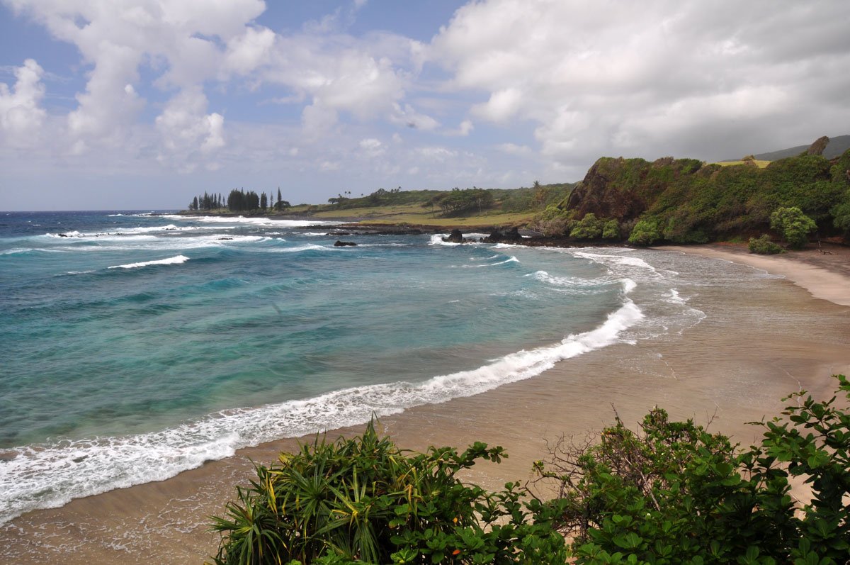
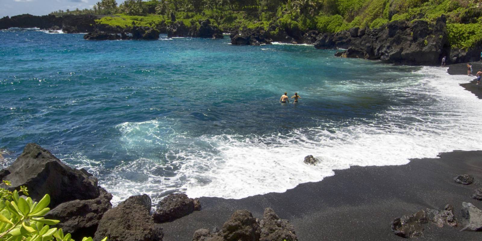
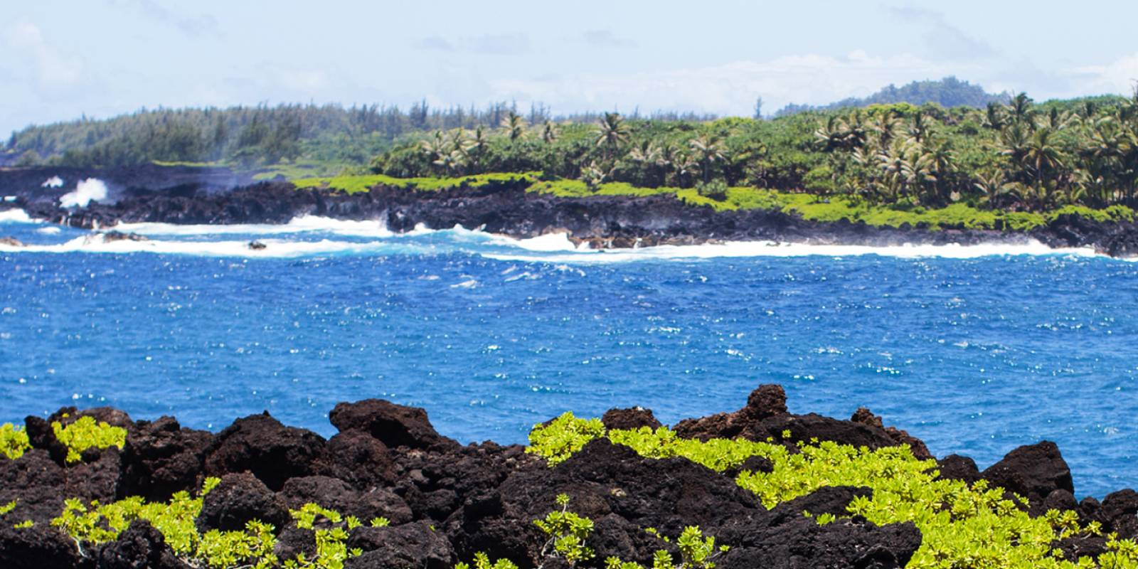
A half-mile easy loop trail leads from the Kipahulu Visitor Center down to the ocean at Kuloa Point past historic walls and pre-contact Hawaiian habitation sites.
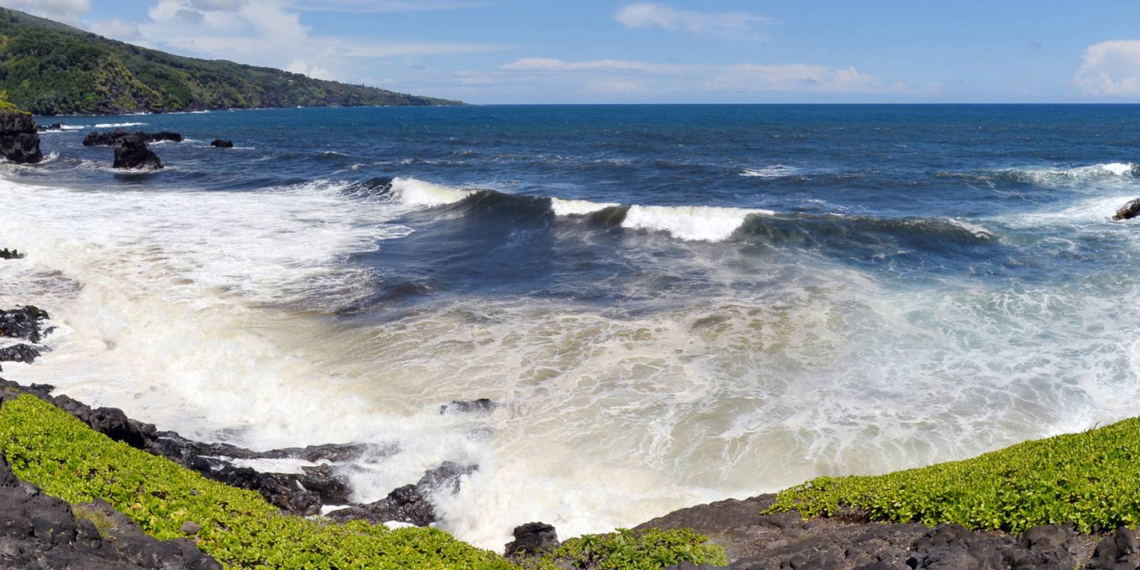
The trail passes a grove of hala trees on the way to beautiful views of the ocean and several large pools. Swimming is permitted when conditions allow it. Never jump into the water from the cliffs above. Also, the ocean currents at Kuloa Point are very strong and sharks and high surf are constant dangers. Do not go into the ocean here, stay in the pools above if you swim.
Trail day tools
Before you drive to the trailhead, check the trail and weather layer.
Hawaii hikes can change quickly with closures, rain, mud, heat, and daylight.
Founder & certified Hawai'i travel expert with 20+ years in Hawai'i tourism, University of South Carolina climate-research training, and NOAA weather-station experience.
Mostly dry and breezy across Oʻahu today through Monday, with northeast winds holding steady and only light showers popping up on windward slopes. Leeward and resort areas stay dry.
Late Tuesday the pattern shifts. Winds drop and turn southerly, and tropical moisture moves in Wednesday through Friday—heavy rain will hit the islands, with potential flash flood conditions. Timing and intensity are still uncertain, but plan on wet weather. Ocean conditions will be choppy and elevated through Monday, then gradually ease midweek.
Hit the leeward beaches and snorkel sites Monday and Tuesday. Save indoor plans for Wednesday through Friday.
0:000:56
Voice
Read the transcript
Steady northeast winds and mostly dry skies today through Monday. Light showers may pop up on windward slopes and in the mountains, but leeward and resort areas stay mostly dry.
Late Tuesday the pattern shifts. Winds drop and turn southerly, then deep tropical moisture moves in Wednesday through Friday. Heavy rain is likely statewide from late Wednesday onward, with potential flash flood conditions—timing and intensity are still uncertain. Ocean conditions are rough and choppy through Monday on windward shores due to strong winds, then gradually ease mid-week. A slightly larger northwest swell peaks Wednesday, and a west swell from a distant typhoon may bring moderate surf to west-facing Big Island shores by Thursday.
Leeward beaches and snorkeling work well Monday and Tuesday. Save indoor plans for Wednesday through Friday.
0:000:52
Voice
Read the transcript
Steady northeast winds and mostly dry skies today through Monday, with only light showers scattered across windward slopes and the mountains. Leeward and resort areas stay dry. Ocean conditions are rough and choppy—a Small Craft Advisory is in effect through Monday evening.
Late Tuesday brings a shift. Winds drop and turn southerly, and tropical moisture moves in Wednesday through Friday. Plan for heavy rain and potential flash flooding from late Wednesday onward. Timing and intensity are still uncertain. Surf will ease mid-week, though a northwest swell peaks Wednesday and a distant typhoon may send moderate west swell to west-facing shores by Thursday.
Leeward beaches are your play Monday and Tuesday. Plan indoor activities starting Wednesday when the rain arrives.
0:000:50
Voice
Read the transcript
Steady northeast winds are pushing cool, dry air across Kauaʻi right now. Light showers will pop up mainly on windward slopes and mountains through Monday, but leeward and resort areas stay mostly dry.
A pattern shift arrives late Tuesday. Winds will drop and turn southerly, and deep tropical moisture will move in Wednesday through Friday. Heavy rain is likely statewide from late Wednesday onward, with potential flash flood conditions—timing and intensity details are still uncertain. Surf will be choppy and elevated through Monday due to strong winds, then gradually ease mid-week before a slightly larger northwest swell peaks Wednesday.
Leeward beaches and snorkeling are best Monday and Tuesday. Plan indoor activities for Wednesday through Friday.
Created with AI from the official NWS forecast discussion · verify with NWS before heading out