

Browse free previews for all four main Hawaiian Islands
We may earn a commission when you book or buy through links on this page.
Free Hawaii Guide Previews — All 4 Islands
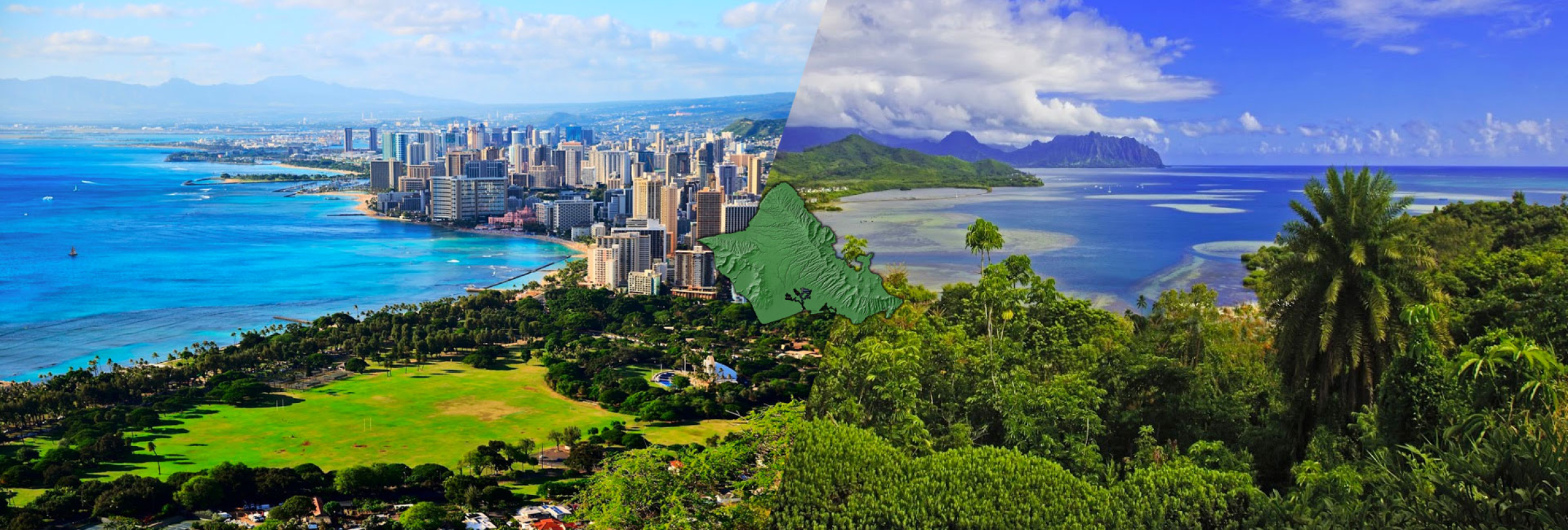
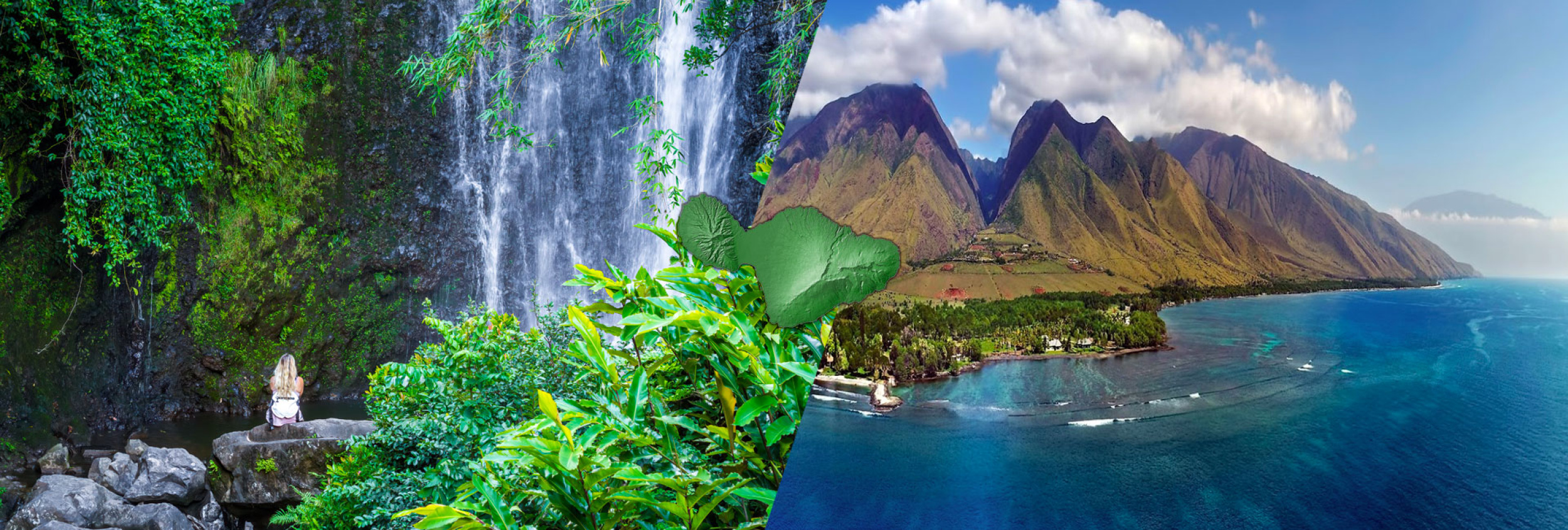
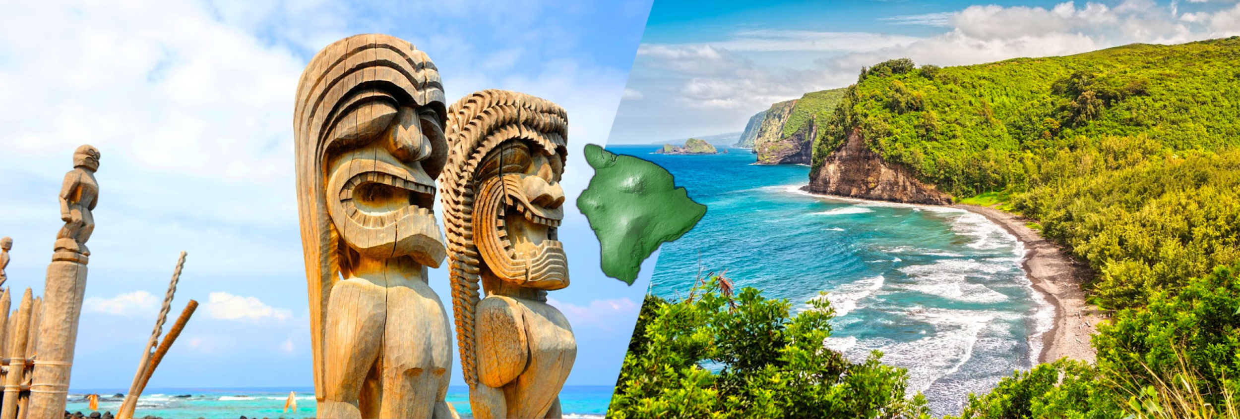
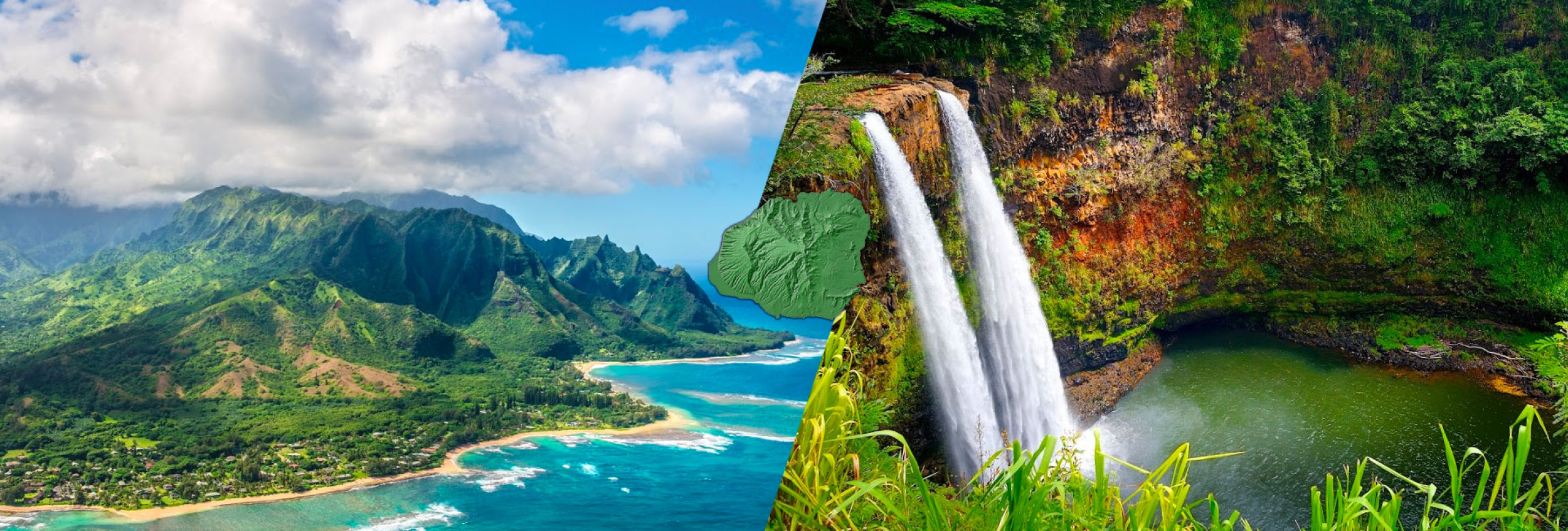
Each Hawaiian island has its own character — different weather, beaches, hiking, and vibe. We publish a separate guide for each one. Pick the island you're visiting (or planning to visit) and browse the free preview to see what's inside before you commit to the full guide.
Free previews include the island overview, weather charts, and top beaches. The full 40-page guides add hotel picks, restaurant recommendations, day-by-day itineraries, hiking trails, cultural experiences, and insider tips.
Renting a car in Hawaii? Save on your rental through Discount Hawaii Car Rental — we compare rates across all major companies.

Need help planning?
Search & Planning Chat →

Hawaiʻi Weather Forecast
Today’s Weather Brief · Audio · ~45s
0:00
0:53
Read the transcript
Mostly dry this morning with light to moderate trade winds, a few showers over windward and mountain slopes. Winds weaken and turn south tonight into Wednesday as a low-pressure system develops north of the islands, starting a wet stretch.
Wednesday afternoon through Friday, rain increases across the island, heaviest on south-facing slopes and coasts. Isolated thunderstorms are possible Wednesday night into Thursday. Rain timing and intensity depend on where the rainband sets up. No flood watch is in place yet, but conditions will be wet. Saturday and Sunday clear out as normal trade winds return.
Beach and water activities work best today and early Wednesday; plan indoor time for Wednesday through Friday as rain increases. Save hiking and summit drives for the weekend.
Created with AI from the official NWS forecast discussion · verify with NWS before heading out
Loading forecast…
Temperature
Weather data by Open-Meteo.com
Current Time in Hawaiʻi
--:----
Hawaiʻi Standard Time · UTC−10 · No Daylight Saving
You’re on Hawaiʻi timeMainland US
International
Aloha Today daily podcast →
Full HST breakdown, FAQ & DST schedule →

Get Your Free Hawaii Visitor Guide
Enter your email and we'll send you instant access to our free 2026 Hawaii Starter Guide + Summary Guidesheets.