We may earn a commission when you book or buy through links on this page.
Kamokila Hawaiian Village
Located within the East Region on Kauai
⚠ Permanently Closed: Kamokila Hawaiian Village permanently closed in December 2022 after the Department of Land and Natural Resources did not renew the operating lease. The site is no longer open to visitors.
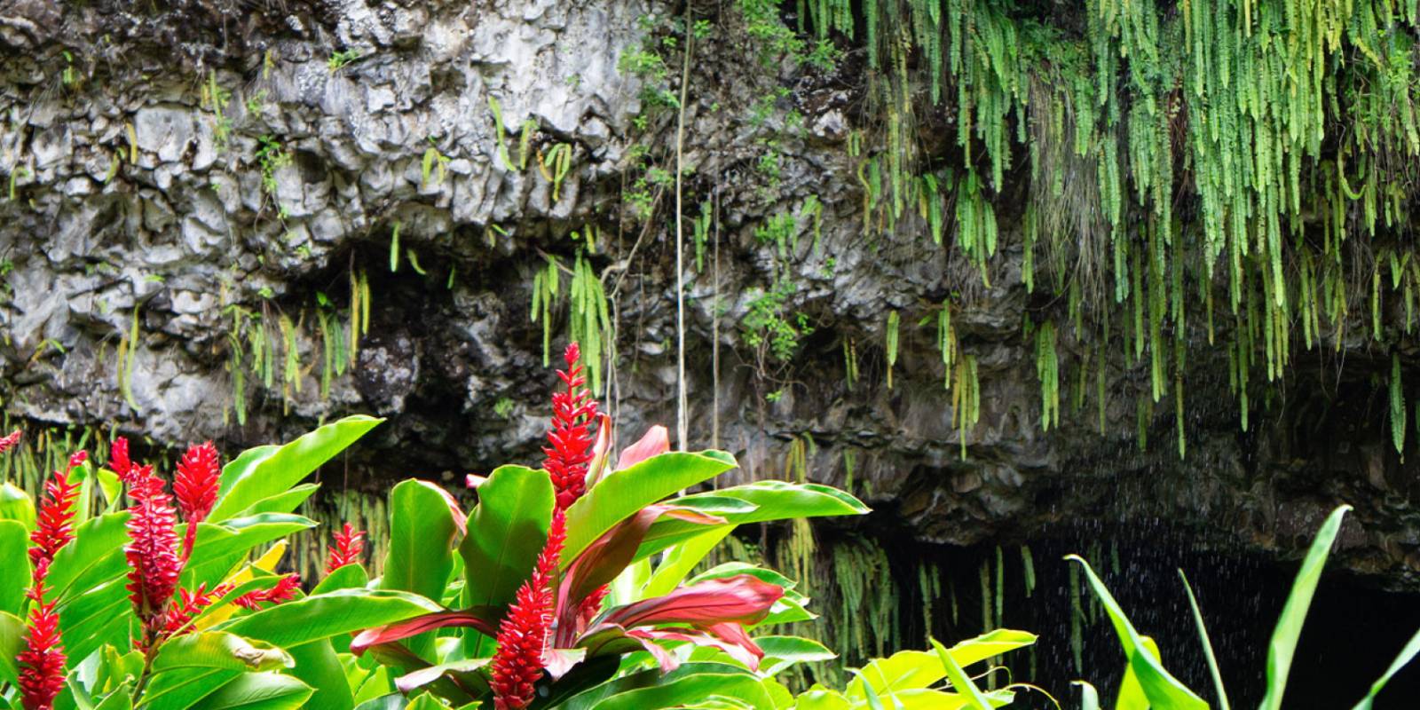
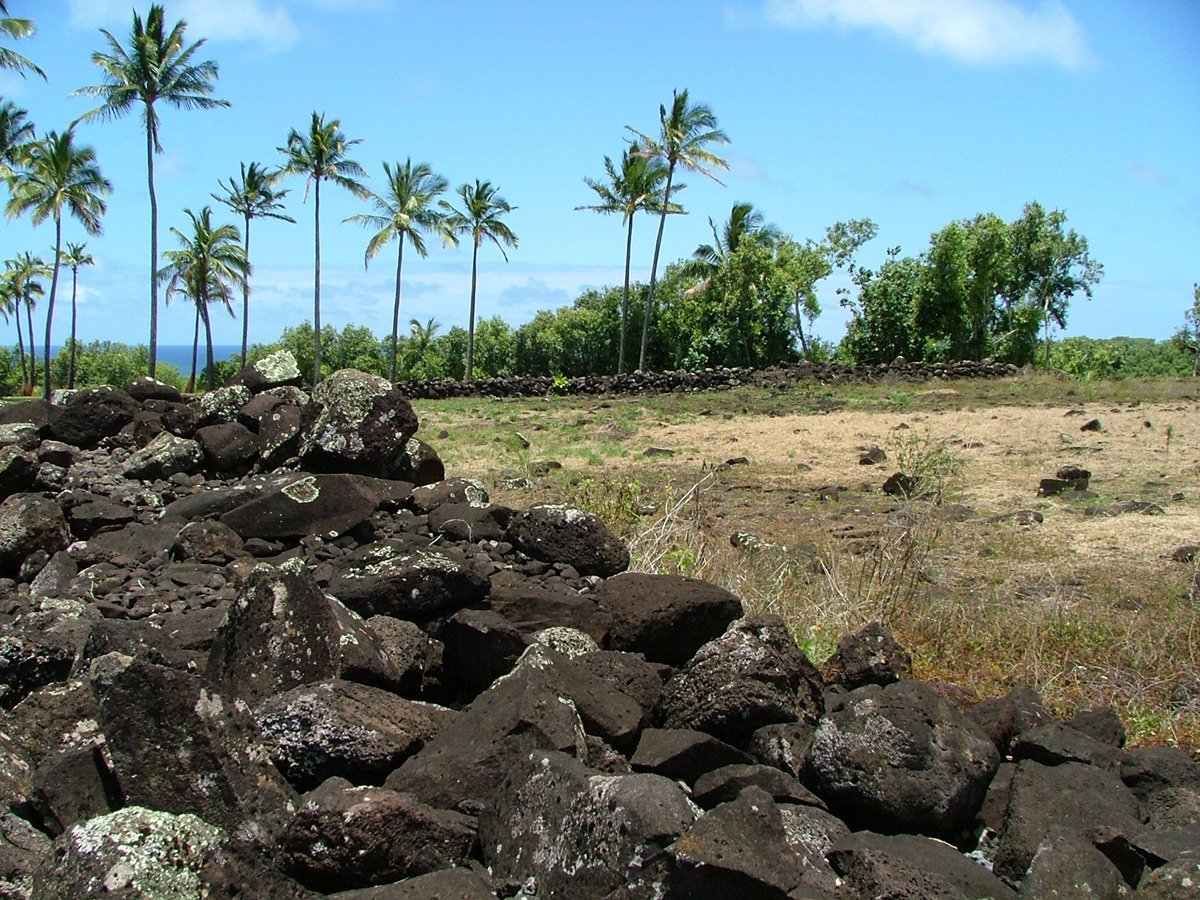
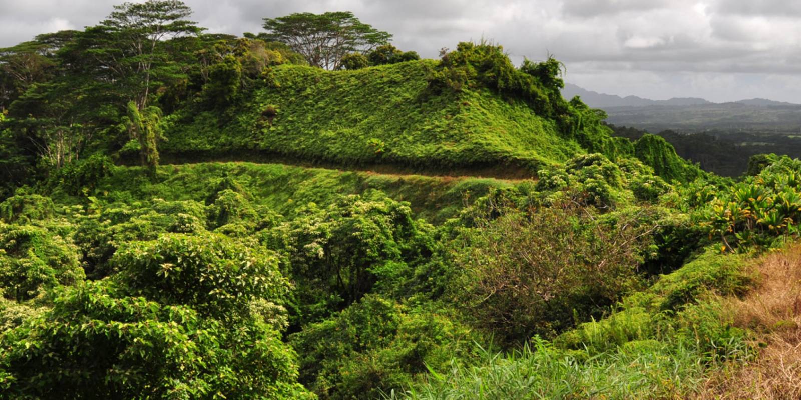
This recreated Hawaiian village was located on the spot where Kauai's last king, Kaumualii, often visited. A variety of ancient structures from a canoe house to a dancing house and more had been reconstructed, some of them made using traditional methods. On the grounds were many native and introduced plants such as guava, hibiscus and mango.
Explore smarter
Turn this stop into a better day plan.
Use maps, timing, access checks, and current conditions before adding another stop to the route.
Note: Kamokila Hawaiian Village permanently closed in December 2022 after the Department of Land and Natural Resources did not renew the family's lease. The village is no longer open to visitors.
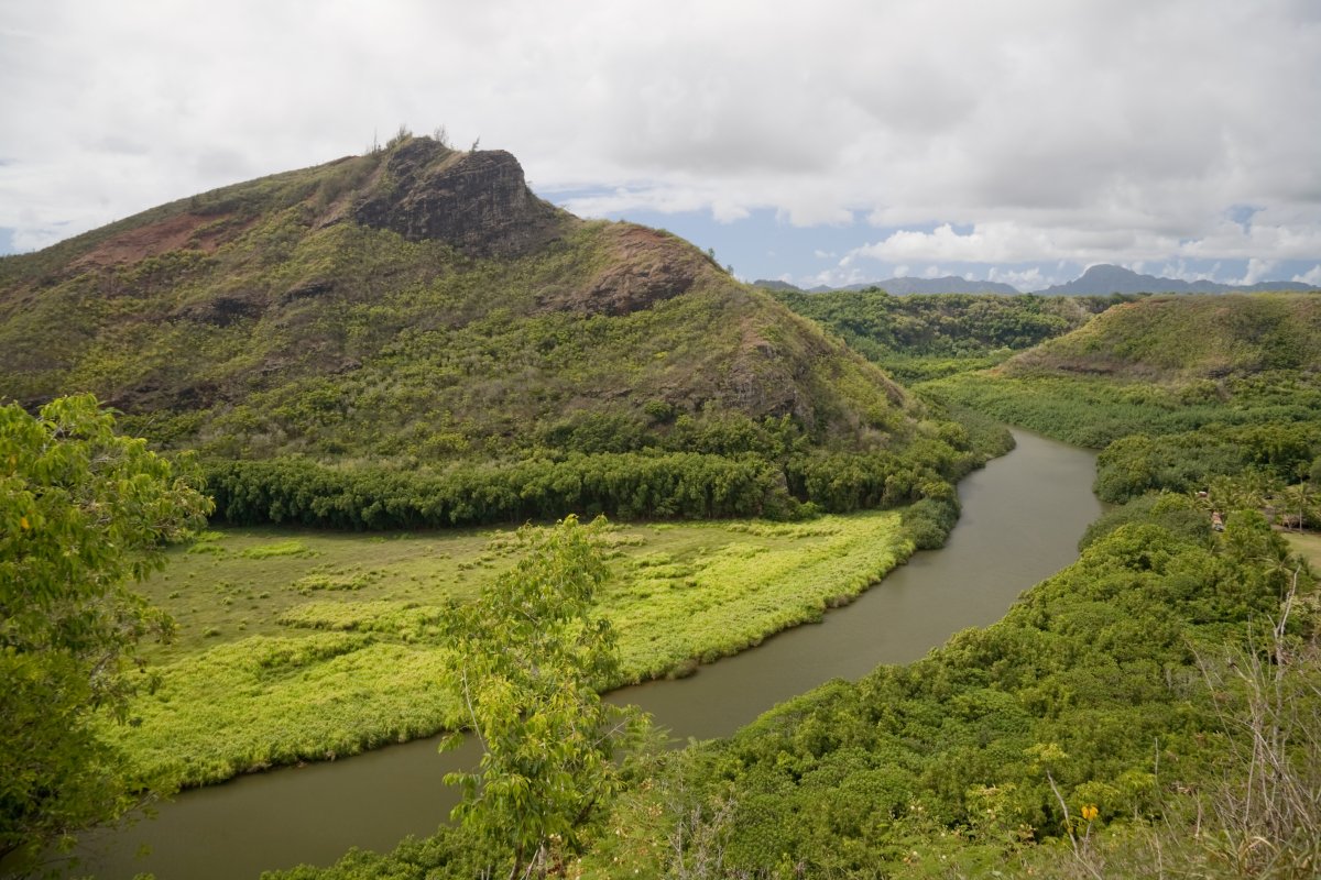
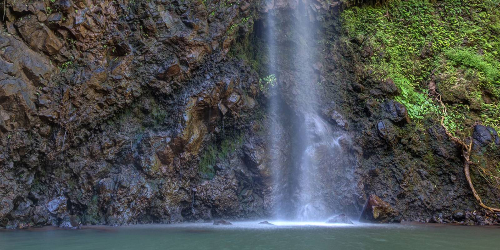
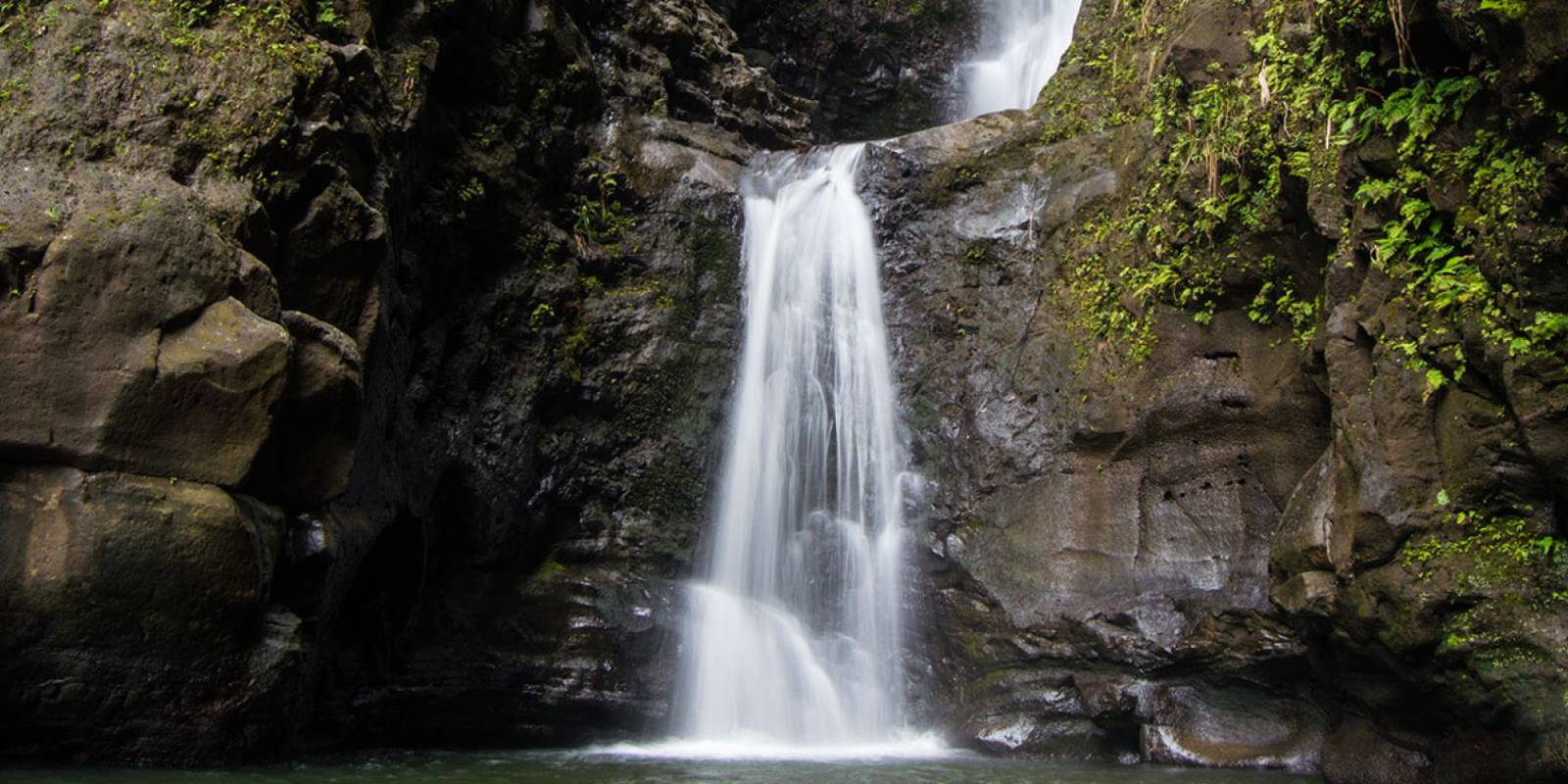
The village was located on the banks of the Wailua River. Kamokila was open 9 a.m.–5 p.m. daily with admission of $5 for adults and $3 for children. The caretakers of the village also offered double-hull canoe trips up the river to Secret Falls and swimming holes.
Founder & certified Hawai'i travel expert with 20+ years in Hawai'i tourism, University of South Carolina climate-research training, and NOAA weather-station experience.
Mostly dry this morning with light to moderate trade winds, a few showers over windward and mountain slopes. Winds weaken and turn south tonight into Wednesday as a low-pressure system develops north of the islands, starting a wet stretch.
Wednesday afternoon through Friday, rain increases across the island, heaviest on south-facing slopes and coasts. Isolated thunderstorms are possible Wednesday night into Thursday. Rain timing and intensity depend on where the rainband sets up. No flood watch is in place yet, but conditions will be wet. Saturday and Sunday clear out as normal trade winds return.
Beach and water activities work best today and early Wednesday; plan indoor time for Wednesday through Friday as rain increases. Save hiking and summit drives for the weekend.
0:000:52
Voice
Read the transcript
Mostly dry right now with light to moderate trade winds. South-facing shores have elevated surf near advisory levels through tonight.
Winds weaken and shift south starting tonight into Wednesday as a low-pressure system develops north of the islands. Wednesday afternoon through Friday, showers and rain increase across Maui, heaviest on south-facing slopes and coasts. Isolated thunderstorms are possible Wednesday night into Thursday. Rain intensity and timing remain uncertain depending on where a rainband sets up—conditions will stay wet and may limit activity.
Saturday into Sunday, normal trade winds return and rain clears. Beach and water activities work best today and early Wednesday; plan indoor time for the wet stretch ahead. Hiking and summit trips are better suited for the weekend.
0:000:44
Voice
Read the transcript
Mostly dry this morning with light to moderate trade winds. Windward and mountain slopes have a few scattered showers.
Winds weaken and turn southerly tonight into Wednesday, and rain increases Wednesday through Friday across the island—heaviest on south-facing slopes and coasts. Isolated thunderstorms are possible Wednesday night into Thursday. Timing and intensity depend on exactly where the rain sets up and how long it lingers. Saturday and Sunday clear out and trade winds return to normal.
Get your beach time in today and early Wednesday morning. Plan indoor activities for the wet stretch, and save hiking and summit drives for Saturday.
0:000:53
Voice
Read the transcript
Mostly dry right now with light to moderate trade winds. Windward and mountain areas have a few scattered showers, but south-facing shores have elevated surf near advisory levels through tonight.
Starting Wednesday, winds weaken and turn south as a low-pressure system develops north of the islands. Rain will increase, heaviest on south-facing slopes and coasts. Isolated thunderstorms are possible Wednesday night into Thursday. Rain intensity and timing are uncertain—it depends on where a rainband sets up and how long it lingers. Saturday and Sunday, normal trade winds return and rain clears out.
Beach and water activities work best today and early Wednesday. Move indoor or covered plans to Wednesday through Friday as rain picks up. Save hiking and summit drives for the weekend.
Created with AI from the official NWS forecast discussion · verify with NWS before heading out