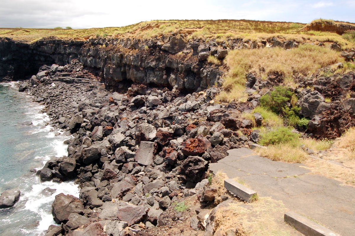
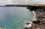
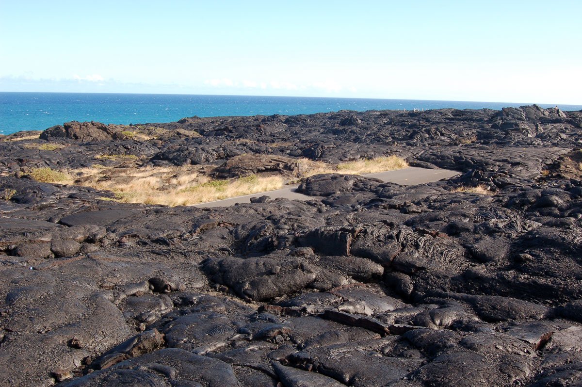
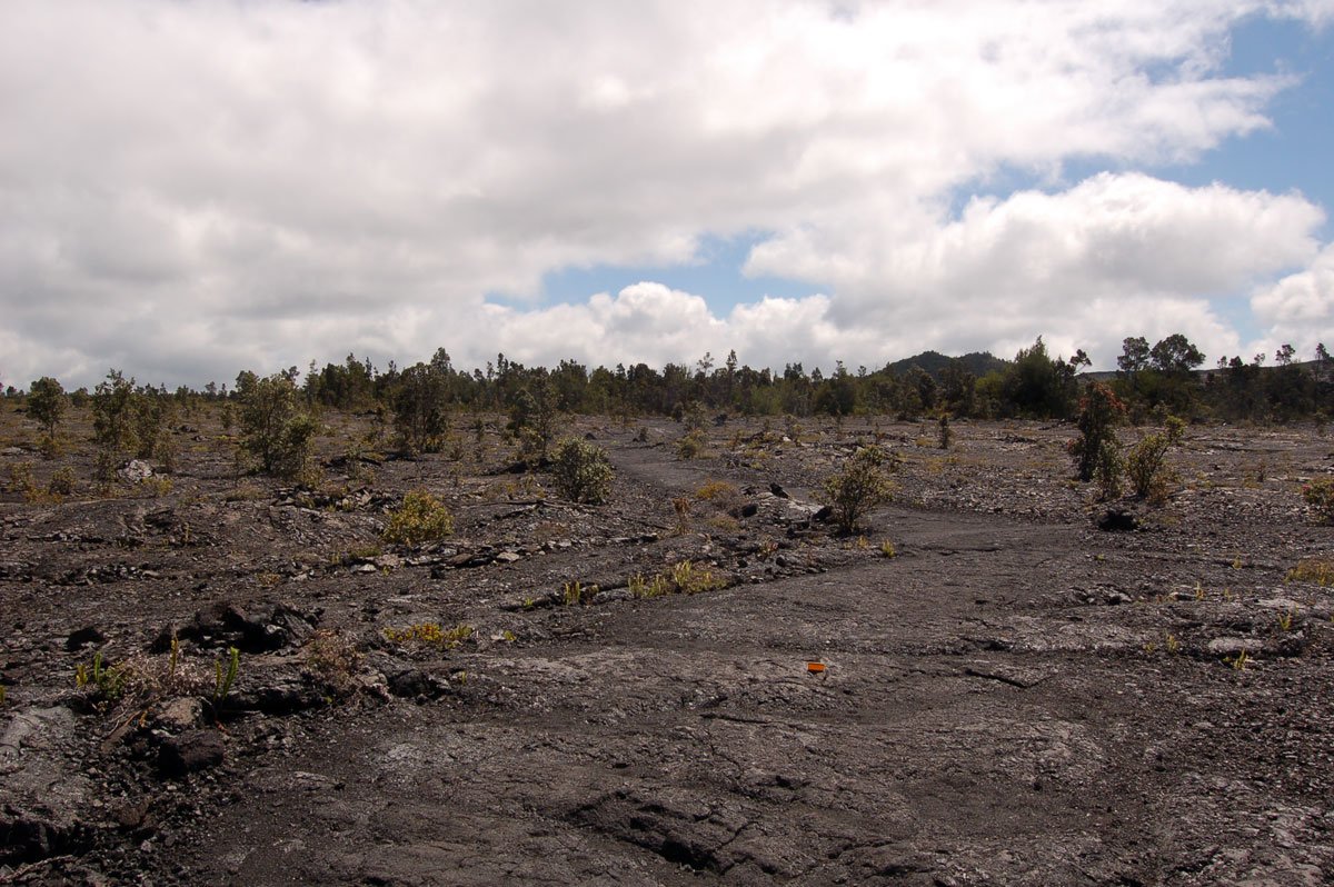
Pali O Ha`uki`uki is often referred to as 'Broken Road'. It is located just north and west of Ka Lae (South Point) in the Ka'u district of the Big Island. So why do many visitors call it broken road? In the 1950's, the Army Corp of Engineers demolished the Pali (cliff face) to make a road that led down to a ramp for launching boats. It wasn't six months before a Kona storm came and removed everything they had engineered. Today it's a broken road, abruptly ending on the cliff face. You should not attempt to drive down any portion of this road. Instead, you can park at the beginning of the road, and hike up and over see where it terminates at the ocean. Use caution near the end of the road of course. The twisted pavement and concrete below won't break your fall. The views from here are quite scenic and is one of the few places near Ka Lae where you can escape the wind on a windy day.
We may link to trusted Hawaiʻi resources at no extra cost to you.
Pali O Haukiuki - Broken Road
Located within the South Kau Region on Big Island

Published by: John C. Derrick
Founder & certified Hawai'i travel expert with 20+ years of experience in Hawai'i tourism.
Geolocation Data
Geographic Coordinates
Latitude: 18.92231707
Longitude: -155.6827034
Hawaii Safety Information
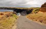
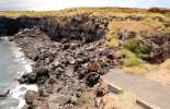
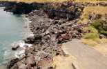
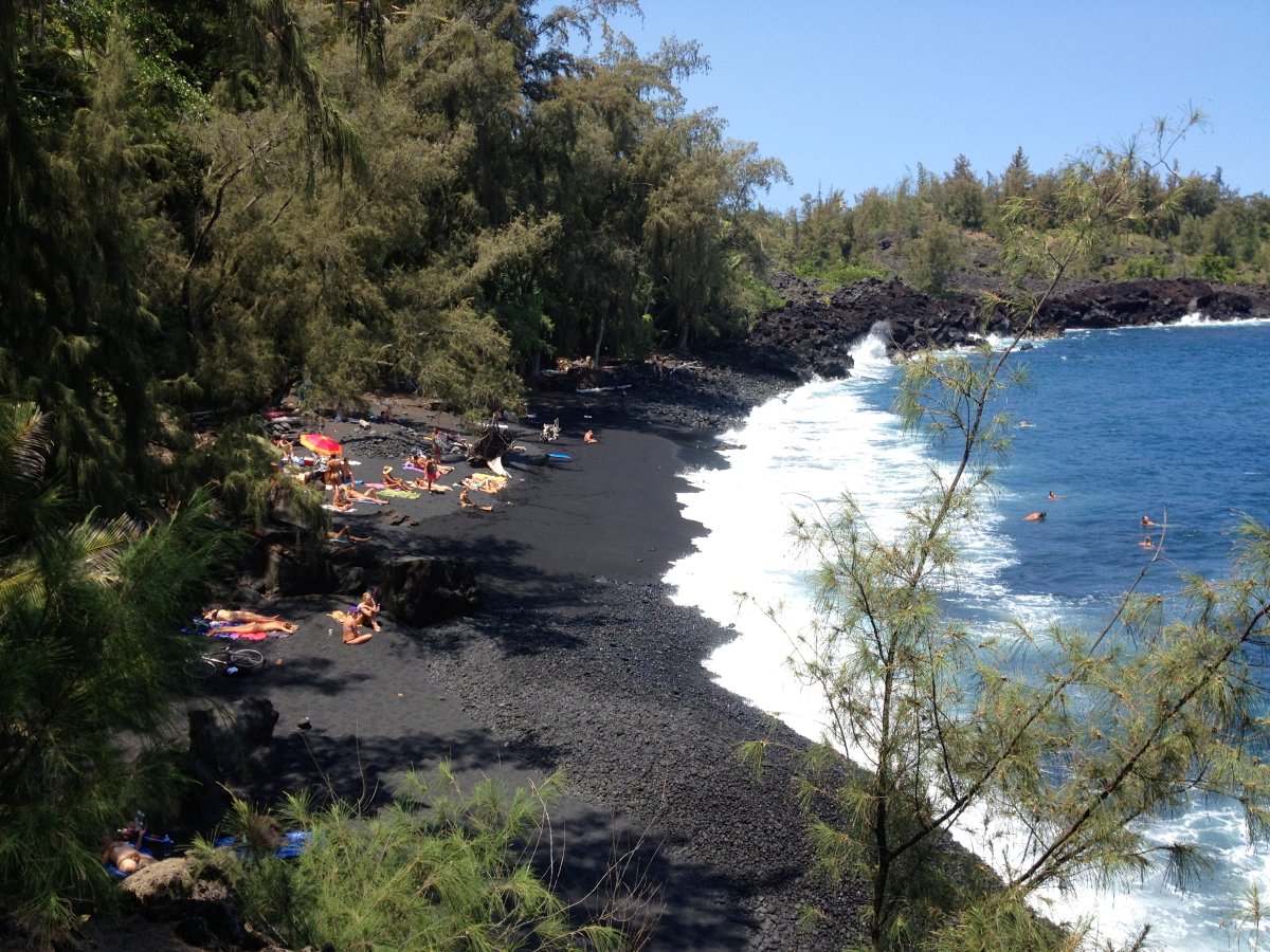
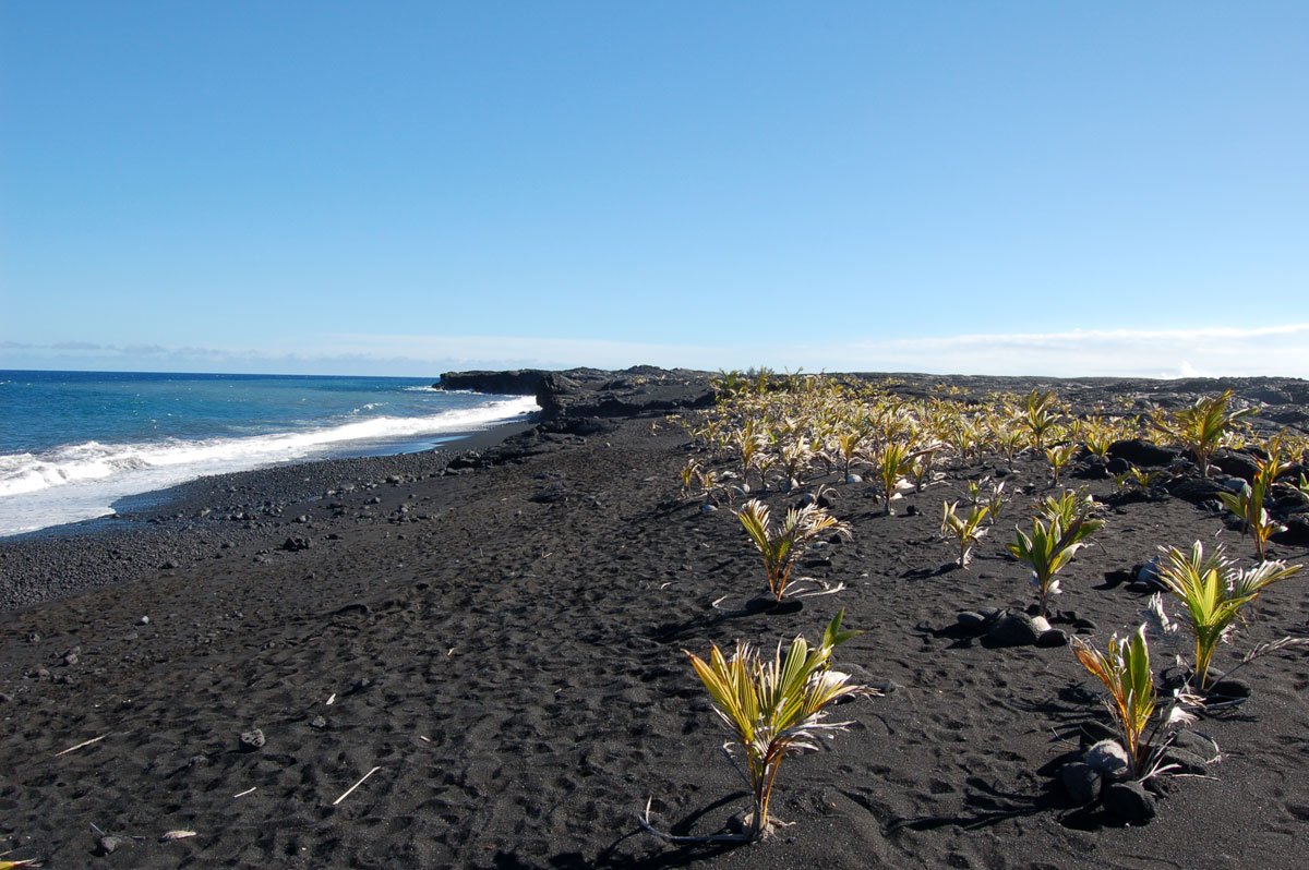
Pali O Haukiuki - Broken Road Photo Gallery


Recommended Tours Nearby
Affiliate Disclosure: We may earn commissions from some travel partners (like Amazon or Expedia) which helps us maintain this site. These links are at no extra cost to you and don't impact our honest & unbiased recommendations. Remove all the ads →
What's Nearby
Beaches

Attractions
Hiking Trails

Try out our AI Powered
Search & Chatbot →
Pali O Haukiuki (Broken Road)
Get Your Free Hawaii Visitor Guide
Enter your email and we'll send you instant access to our free 2026 Hawaii Starter Guide + Summary Guidesheets.