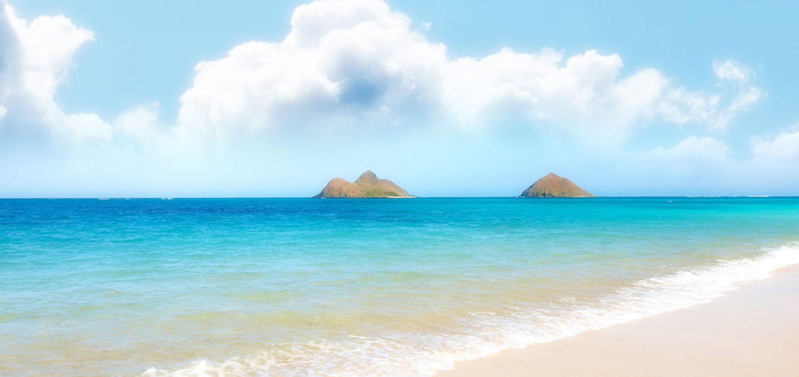
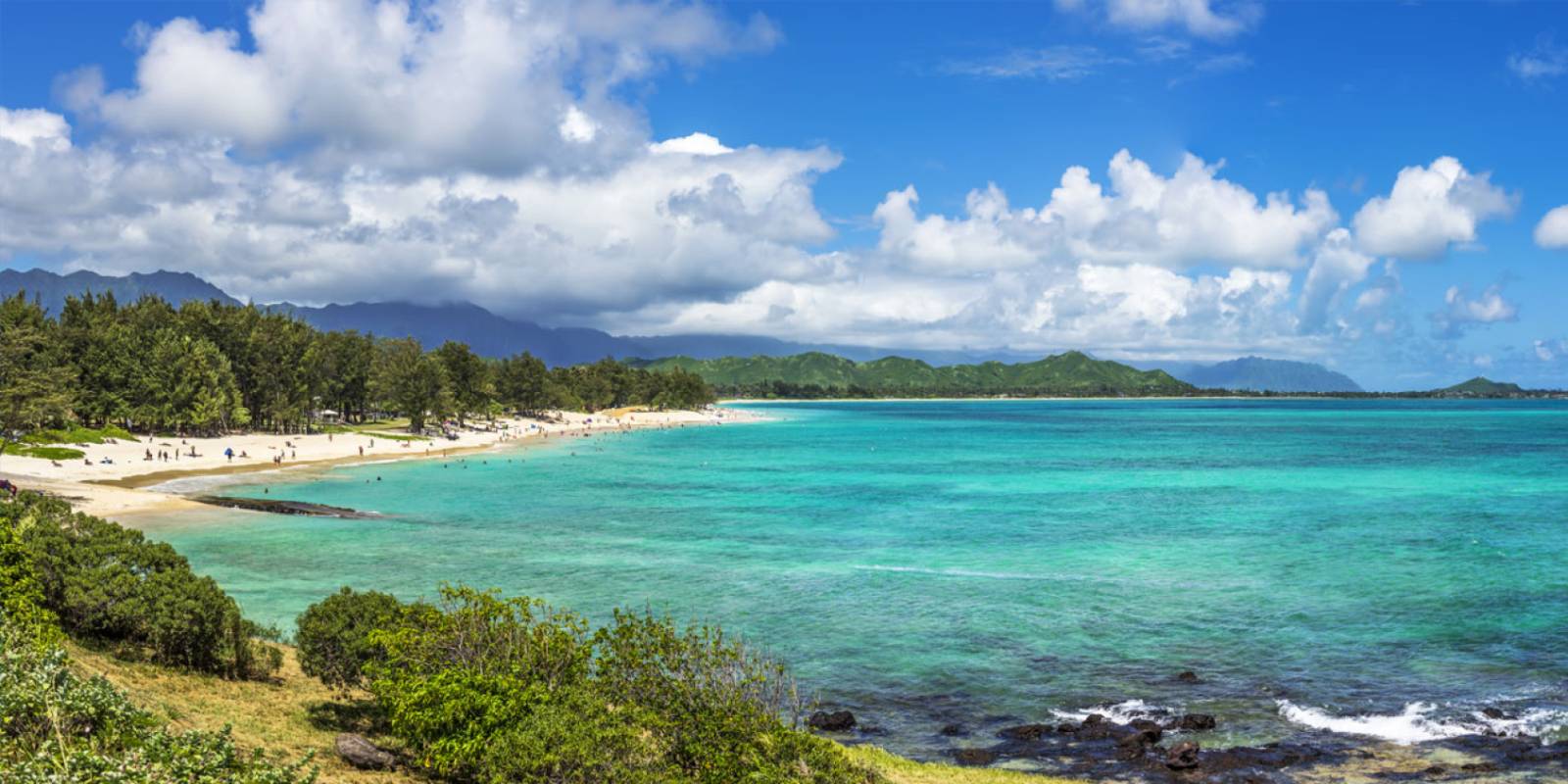
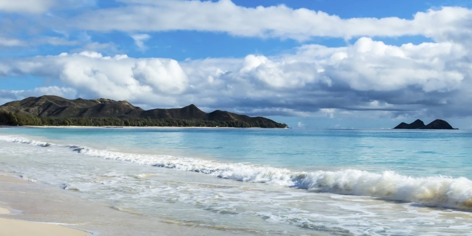
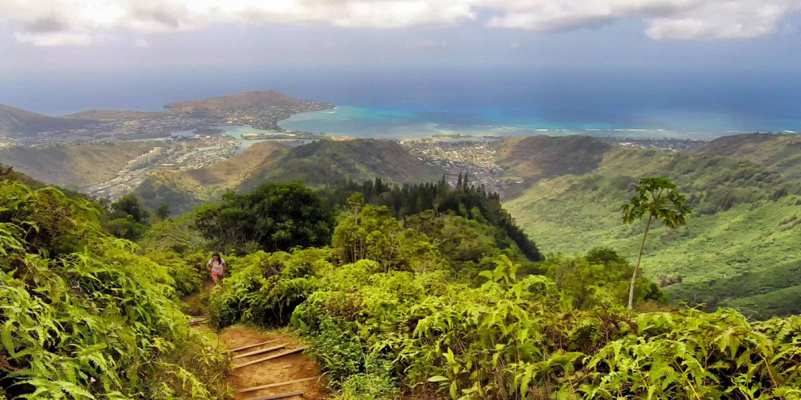
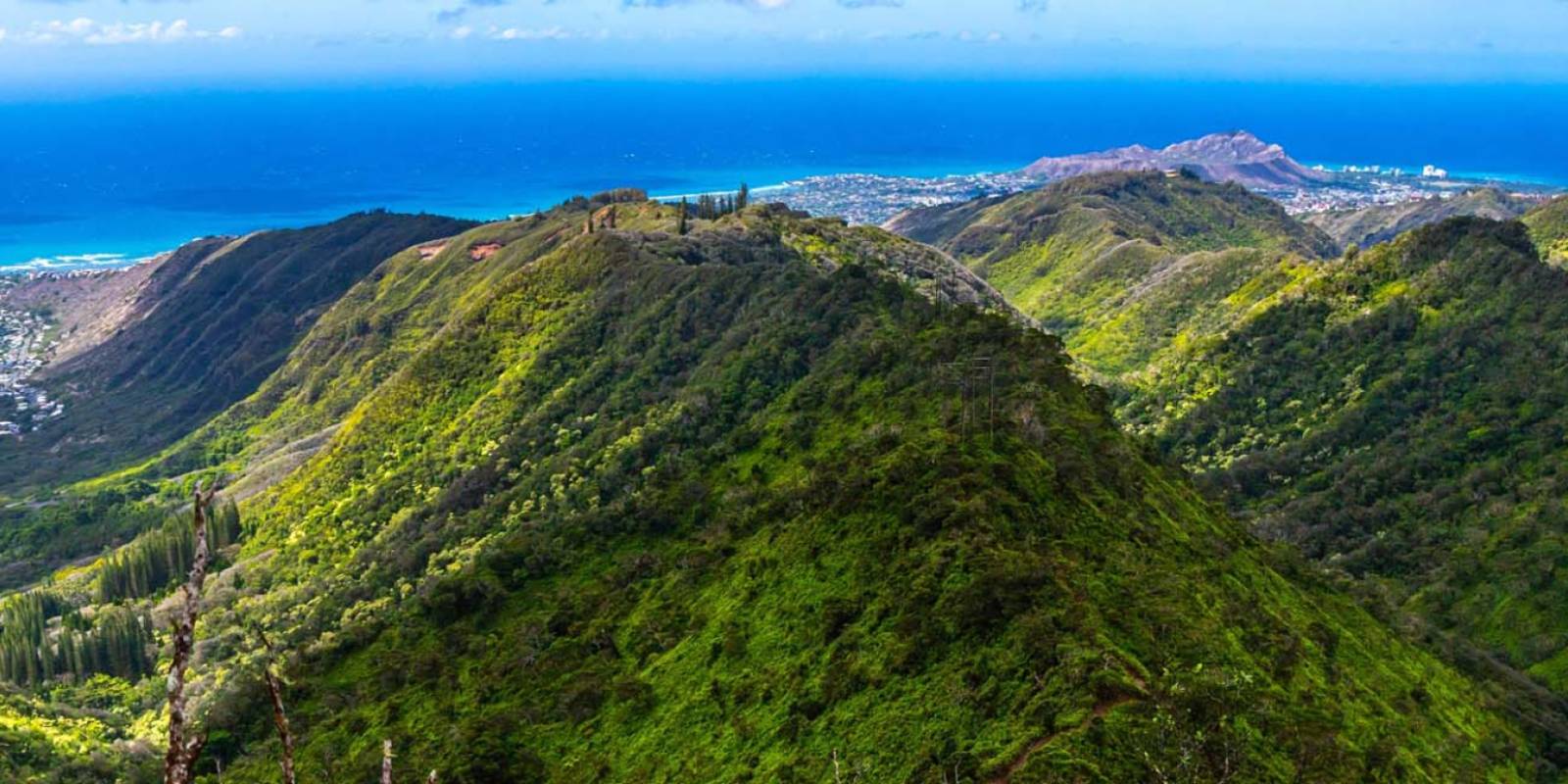
The Kaiwa Ridge Trail, also known as Lanikai Pillbox Hike, is an intermediate hike that will take you to some of the most stunning views on Oahu’s windward side. Sitting above Lanikai Beach, Kaiwa Ridge Trail has a steady steep grade throughout the climb.
Access begins with the neighborhood. The new Oʻahu plan listed on HTA's destination management plan hub identifies Kaʻiwa Ridge/Lanikai Pillbox as a visitor-pressure hotspot. There is no trailhead parking lot, and daytime parking restrictions apply in the surrounding neighborhood. Managed-access and “park once” transportation ideas are being evaluated; do not assume they are operating. Check current posted signs and official transit information, never use the country club lot or block a driveway, and avoid circling residential streets in search of a space.
Trail day tools
Before you drive to the trailhead, check the trail and weather layer.
Hawaii hikes can change quickly with closures, rain, mud, heat, and daylight.
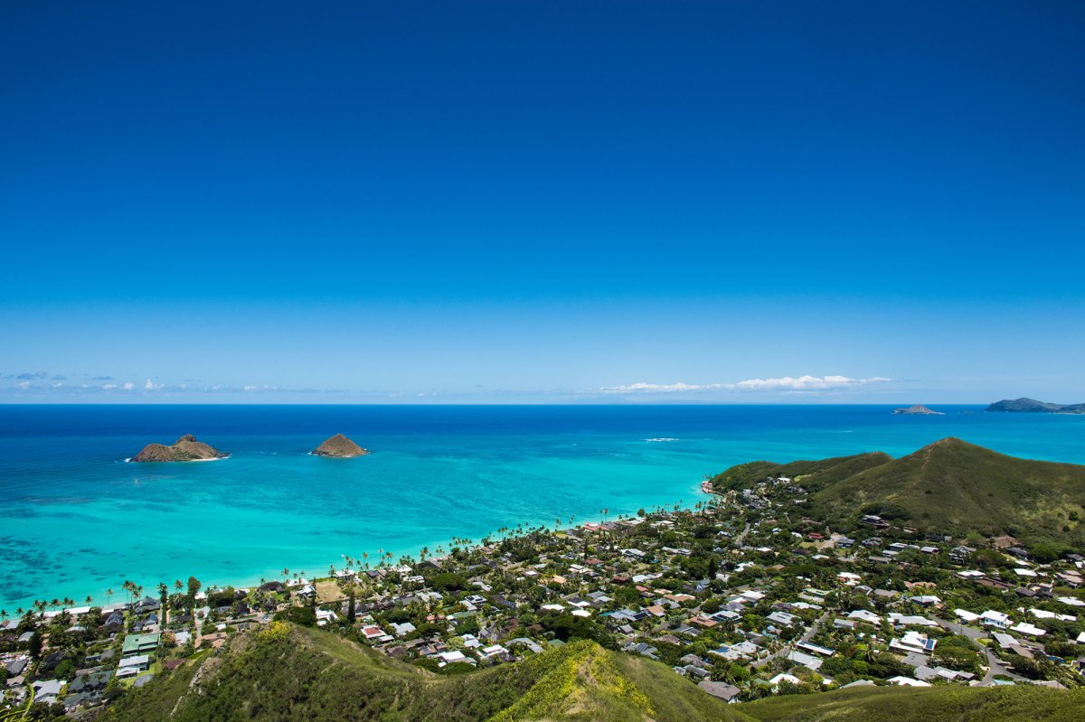
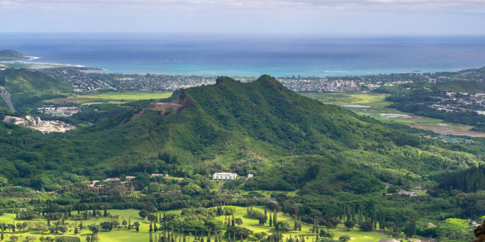
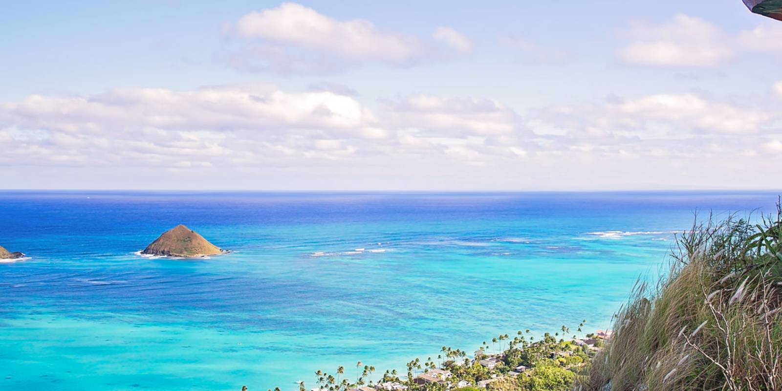
However, if you’re up to it, you will enjoy unbeatable views of the Mokulua Islands, Kailua Beach, and Lanikai Beach when you reach the top. It takes about an hour to 90 minutes roundtrip and you can choose how far up you wish to go. In hand with the steep grade, you will also be walking a trail with a lot of slippery gravel. Some people find the grass beside the trail is safer and the trail worth the effort to reach the stunning vista.
If you aren’t up to the full trek, the first pillbox is only about 20 to 30 minutes away. You can choose to turn around here or travel another 10 minutes or so to reach the second lookout and pillbox. The scenery along the trail offers broad coastal views whether you turn around at a pillbox or continue farther along the ridge.
There is no formal trailhead parking lot. Do not park in the Mid-Pacific Country Club lot, block a driveway, or repeatedly circle residential streets. Use only parking that is legal under current posted signs, or check current TheBus and City transportation information for a park-once approach. Keep voices, doors, and music quiet while walking through the neighborhood, especially early in the day. If you cannot reach the trail without adding to the access conflict, choose another hike.
Whether you are a fitness enthusiast determined to run the trails or more of an ambler, you will find the ideal hiking trails to lead you to the unmatched views of Oahu.
Founder & certified Hawai'i travel expert with 20+ years in Hawai'i tourism, University of South Carolina climate-research training, and NOAA weather-station experience.
Mostly dry this morning with light to moderate trade winds, a few showers over windward and mountain slopes. Winds weaken and turn south tonight into Wednesday as a low-pressure system develops north of the islands, starting a wet stretch.
Wednesday afternoon through Friday, rain increases across the island, heaviest on south-facing slopes and coasts. Isolated thunderstorms are possible Wednesday night into Thursday. Rain timing and intensity depend on where the rainband sets up. No flood watch is in place yet, but conditions will be wet. Saturday and Sunday clear out as normal trade winds return.
Beach and water activities work best today and early Wednesday; plan indoor time for Wednesday through Friday as rain increases. Save hiking and summit drives for the weekend.
0:000:52
Voice
Read the transcript
Mostly dry right now with light to moderate trade winds. South-facing shores have elevated surf near advisory levels through tonight.
Winds weaken and shift south starting tonight into Wednesday as a low-pressure system develops north of the islands. Wednesday afternoon through Friday, showers and rain increase across Maui, heaviest on south-facing slopes and coasts. Isolated thunderstorms are possible Wednesday night into Thursday. Rain intensity and timing remain uncertain depending on where a rainband sets up—conditions will stay wet and may limit activity.
Saturday into Sunday, normal trade winds return and rain clears. Beach and water activities work best today and early Wednesday; plan indoor time for the wet stretch ahead. Hiking and summit trips are better suited for the weekend.
0:000:44
Voice
Read the transcript
Mostly dry this morning with light to moderate trade winds. Windward and mountain slopes have a few scattered showers.
Winds weaken and turn southerly tonight into Wednesday, and rain increases Wednesday through Friday across the island—heaviest on south-facing slopes and coasts. Isolated thunderstorms are possible Wednesday night into Thursday. Timing and intensity depend on exactly where the rain sets up and how long it lingers. Saturday and Sunday clear out and trade winds return to normal.
Get your beach time in today and early Wednesday morning. Plan indoor activities for the wet stretch, and save hiking and summit drives for Saturday.
0:000:53
Voice
Read the transcript
Mostly dry right now with light to moderate trade winds. Windward and mountain areas have a few scattered showers, but south-facing shores have elevated surf near advisory levels through tonight.
Starting Wednesday, winds weaken and turn south as a low-pressure system develops north of the islands. Rain will increase, heaviest on south-facing slopes and coasts. Isolated thunderstorms are possible Wednesday night into Thursday. Rain intensity and timing are uncertain—it depends on where a rainband sets up and how long it lingers. Saturday and Sunday, normal trade winds return and rain clears out.
Beach and water activities work best today and early Wednesday. Move indoor or covered plans to Wednesday through Friday as rain picks up. Save hiking and summit drives for the weekend.
Created with AI from the official NWS forecast discussion · verify with NWS before heading out



 Been here? Tap to stamp