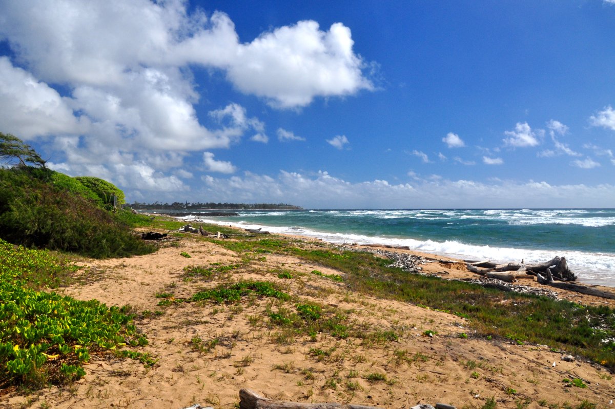
The Great Sacred Wailua often called the Wailua Complex, is a National Historic Landmark and is situated on the east side of the island of Kauai along the Wailua River. The entire area was the land of the Ali’i, who were the ruling class of chiefs on the Hawaiian Islands from the mid 13th century AD until 1893 when the dynasty was overthrown by the United States government. Wailua means ‘two waters’ in the Hawaiian language, and the area at large was named Wailuanuiaho’ano in the 14th century after the great chief of the same name who ruled during that era. The last King of Kauai, King Kaumuali’i, took residence in the Wailua River area. The region was one of the most significant and largest ahupu’a, or traditional subdivisions, on Kauai. Important remnants of the Ali’i still exist within seven sacred sites that are located along the river, from the river mouth at Lydgate Park to the top of Mt Wai’ale’ale, the second-highest mountain on the island. It is worthwhile spending at least an entire day exploring the area via a self-drive tour, and there are a number of ways to explore by river with various companies offering comprehensive tours.
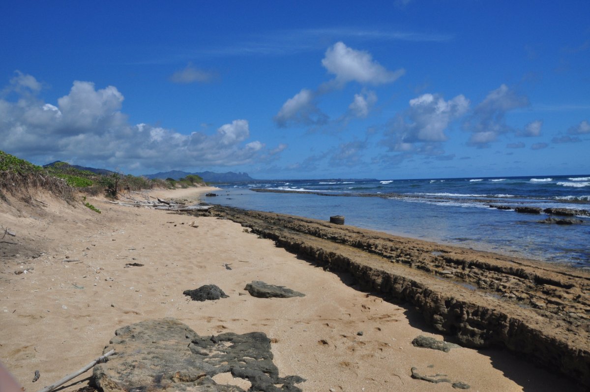
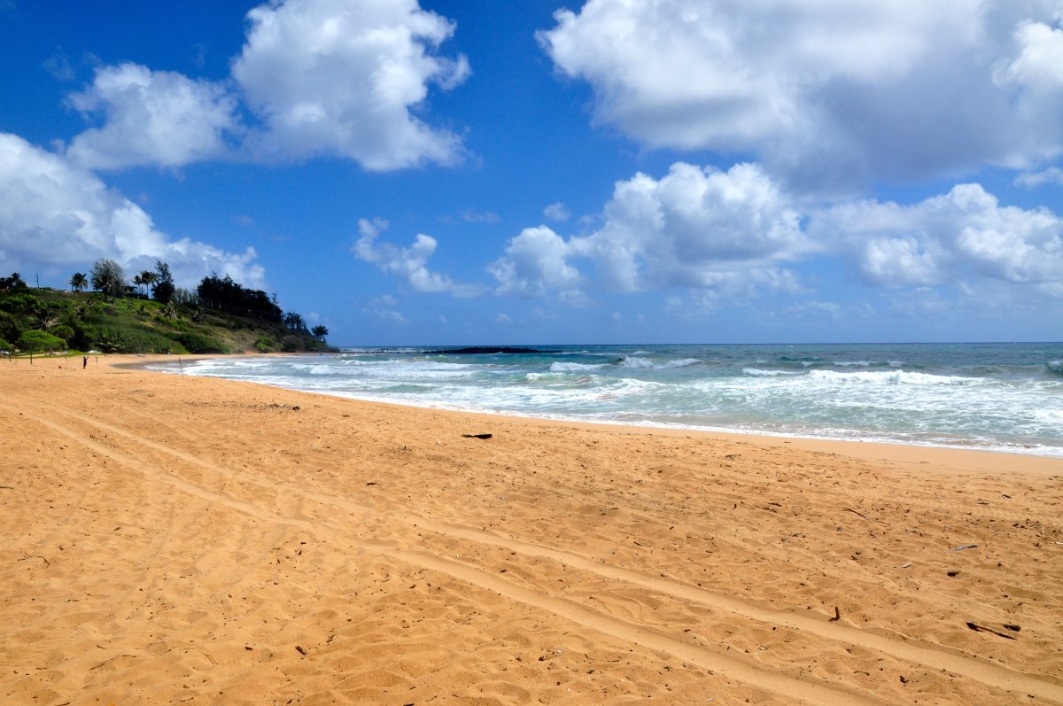
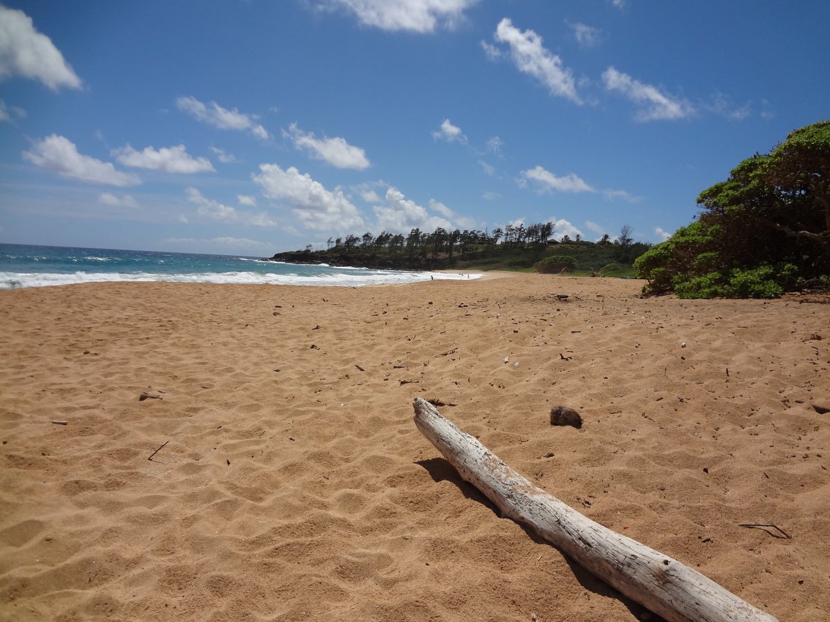
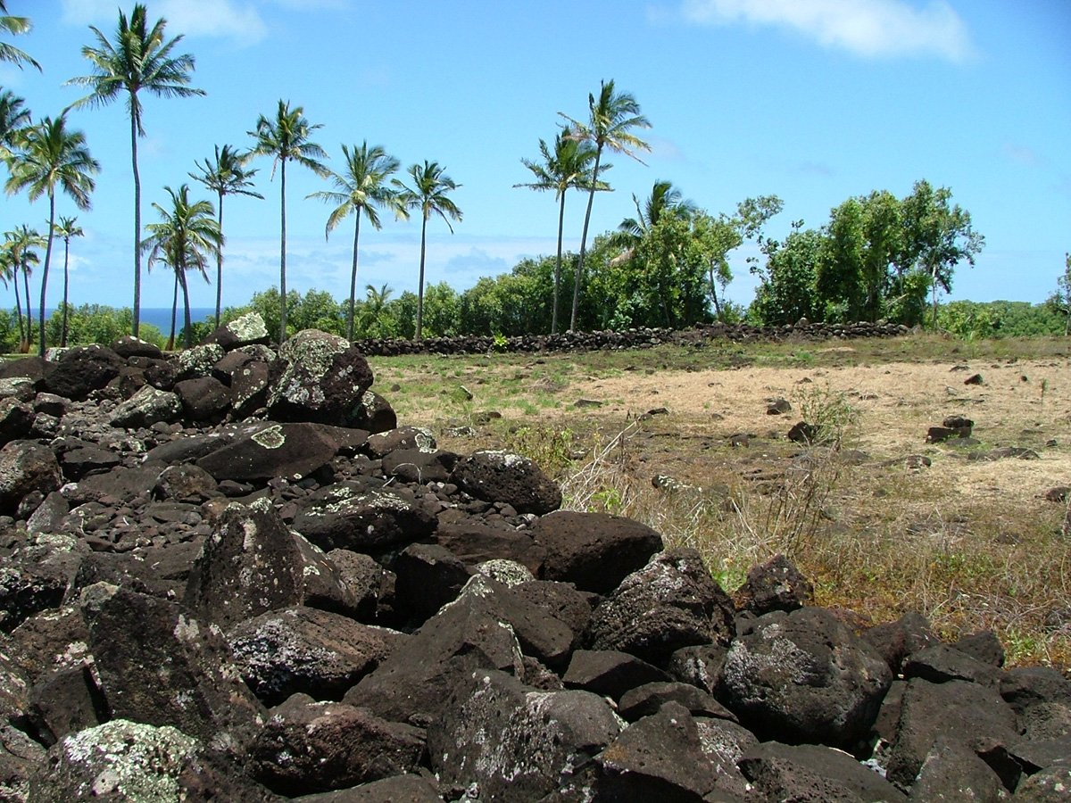
Inside Lydgate park, (which is a beach park just south of the town of Wailua) and situated at the river mouth, is the Hikinaakala Heiau, meaning Rising of the Sun. Within the Heiau is the Hauola Place Of Refuge. There are also some Ki’i Pohaku, or petroglyphs, that are fascinating to see. To locate this area, drive all the way to the end of the road at Lydgate Park, past the Keiki Pond and playgrounds, to the parking lot near the river mouth. Looking towards the highway, walk along the path and you will find the heiau and petroglyphs. Always be respectful at these sacred places, and refrain from moving or removing rocks. The second temple on the Wailua River is the Malaae Heiau, located on the south side of the river. It is not encouraged to try to visit this heiau as there is no direct road access. The third sacred site is very accessible by car and is located right on Kuamo’o Rd on the left (south) side heading towards the mountains, about a quarter-mile from Hwy 56. This is the Holoholoku Heiau, and it is right near the Pohaku Ho’ohanau (Royal Birthstone). The stairway near the heiau leads to the top of a small hill overlooking the river where there are Japanese gravesites. Further up Kuamo’o Rd and after traveling up a steep hill, you will come to a ridge with the Wailua river on the left side and another river valley on the right side. On the left side of the road lay the remains of a large temple, this is the Poli’ahu Heiau. Nearby there are more petroglyphs and Bellstones.
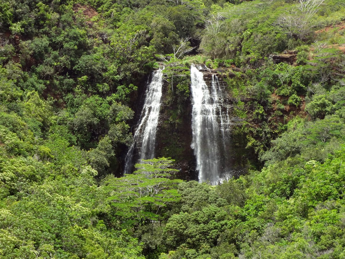
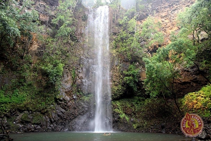
A little further up on the right side is a parking lot where you can access the viewing platform at Opaekaa Falls. This is a 150-foot waterfall and its name means ‘rolling shrimp’ from the days that many shrimp were seen in the river. There is another waterfall in the Great Sacred Wailua that is worth a visit, and that is Wailua Falls. Geographically it is in the vicinity of Opaeka’a Falls, however rather than being accessed along Kuamo’o Rd, its access road is on the Lihue side of the river gorge. A grand 85-foot double-tiered waterfall, it has been featured in the show ‘Fantasy Island’. From Lihue, take Highway 56 and then take a left at Ma’alo Rd (Hwy 583). Look for the signs to the falls.
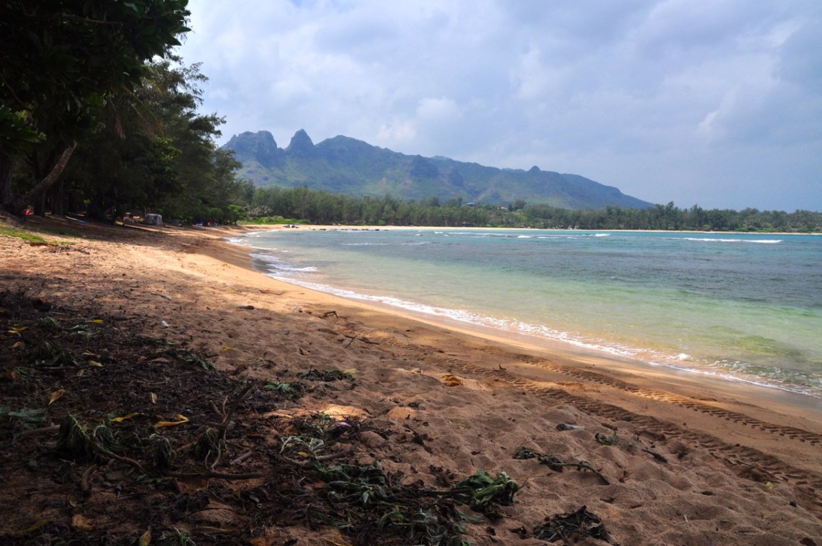
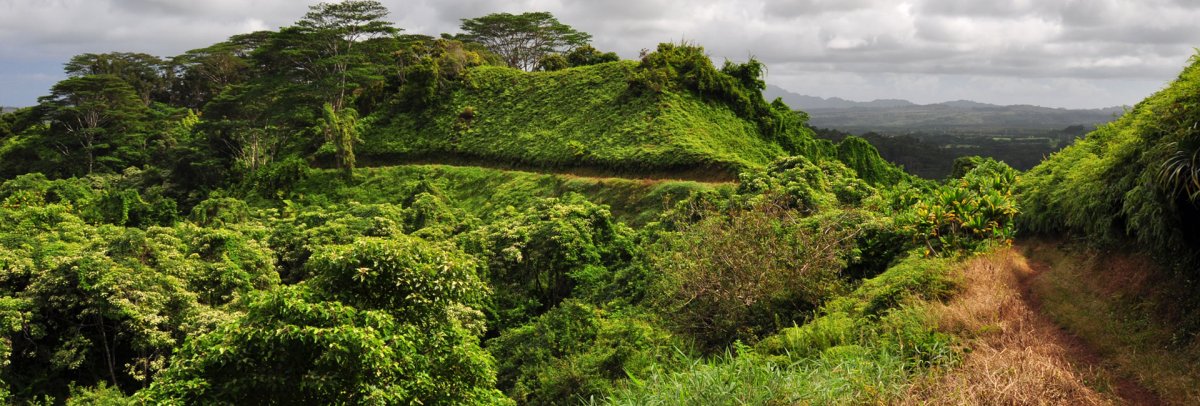
Across the road on the left side is another viewing platform where you can see an excellent view of the Wailua River, and on a clear day, Mt Wai’ale’ale. Wailua Valley is 20 miles long, and an extremely fertile area. The Wailua River is the only river in the state of Hawaii that is deep and wide enough to be navigable by motorized commercial vessels. The river is a hub of activity for visitors and locals with kayaking, boat tours, motorboats, and waterskiing being quite popular.
An excellent way to experience the Wailua River is by kayak. Many kayak tour companies operate along the Wailua river with the most popular destination being Uluwehi Falls (aka Secret Falls). It is a 45-minute paddle upriver to the place where you pull out your boat and then a 25-minute walk along the forest floor to Uluwehi Falls. It is also possible to rent a kayak and paddle the river on your own; however, be aware that going downstream is often more challenging than going up because when paddling back downstream you are often headed directly into the wind.
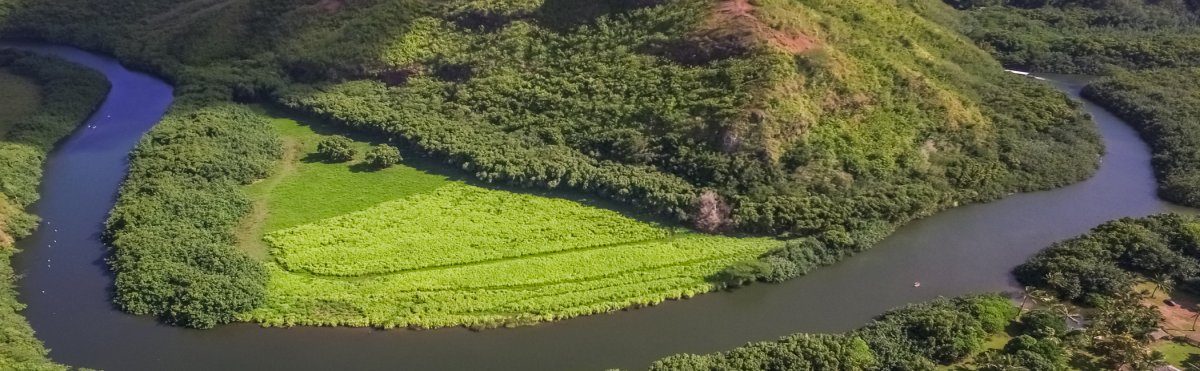
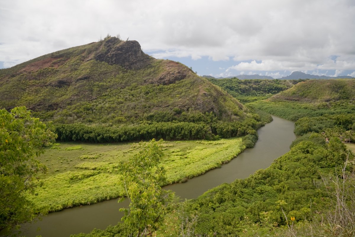
Kamolia Hawaiian Village - located just above the large bend in the Wailua River that can be seen from the lookout - is the historical site of an authentic Hawaiian fishing village, which was initially restored in 1979. Nowadays, it is privately owned by a Hawaiian family. Historically it was the place where King Kaumuali’i kept his war canoes. There is a great deal to learn here about Hawaiian history and culture. Ancient foundations of houses, petroglyphs, bell stones and birthing stones can be found in this area.
In the same vicinity and accessible by river is Fern Grotto, which is a natural amphitheater that was formed millions of years ago. Beautiful ferns and plants hang from the rock walls and roof, and a visit here is truly like stepping back to a time when the people lived harmoniously with the natural resources surrounding them. Visitors may enjoy some traditional Hawaiian music that is often played there, as the acoustics of the cave-like environment are magnificent.
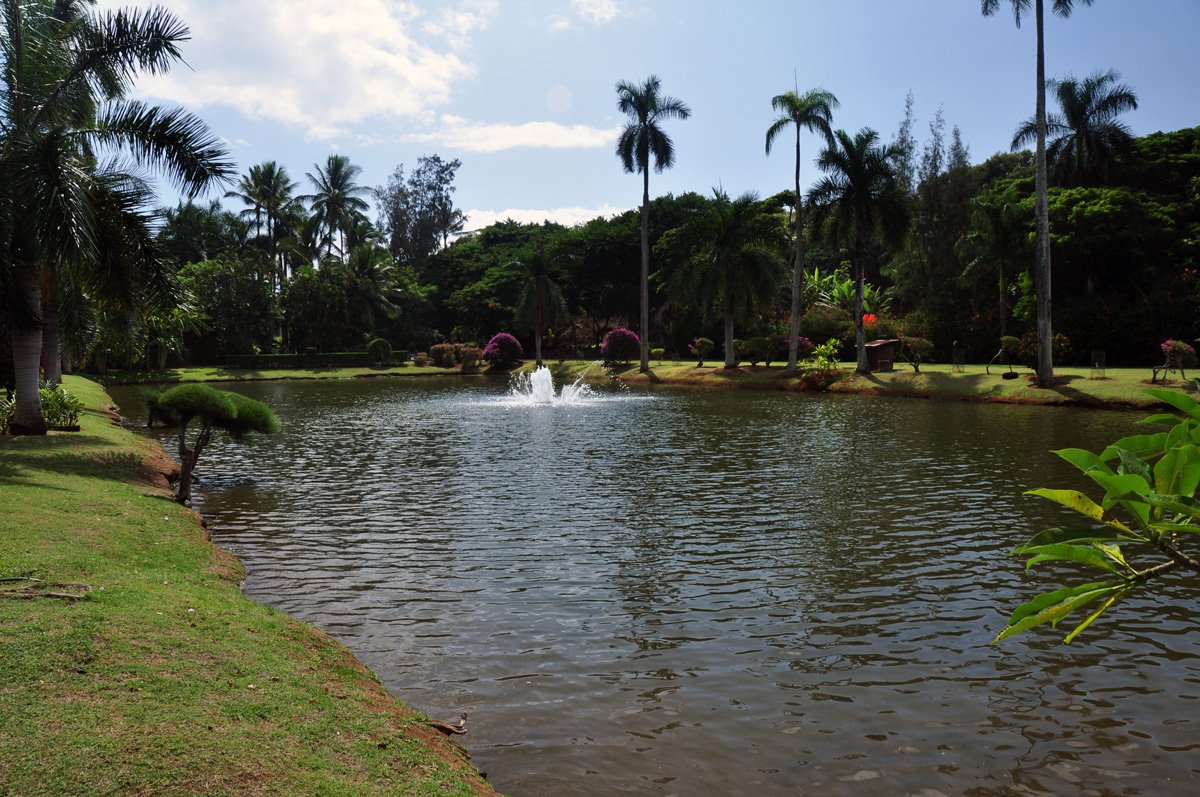
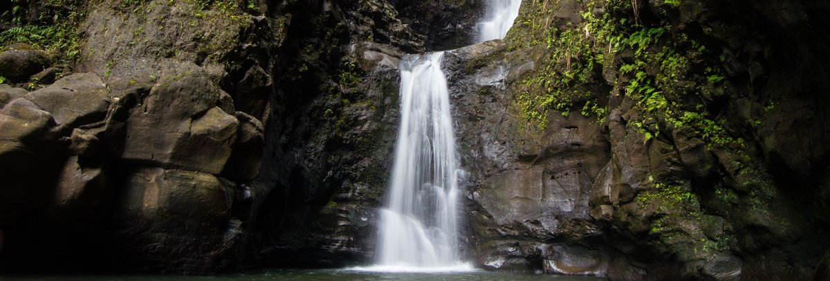
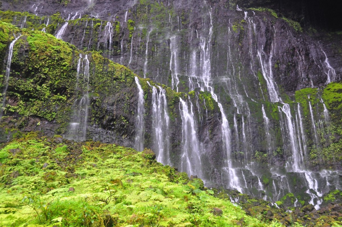
Continuing along Kuamo’o Rd, look for the 4 mile marker and turn left on Kaholalele Rd to the Kauai Hindu Monastery. The 353-acre property has been built as a spiritual sanctuary, with beautiful temples, gardens, ponds and unique banyan trees. The temple is open from 9am – noon daily, and people from all walks of life are welcome to relax and meditate under the magnificent trees, or in the temple itself there is a daily ceremony that is very peaceful and worth attending. Within the confines of the monastery is a beautiful waterfall and deep pool that can be viewed from just outside of the main temple. Another heiau is said to be located in that vicinity of the river, but it is not accessible to the public.
A little further up the road on the left side is a sacred Rudraksha forest, which was planted by the Hindu’s from the nearby monastery. The bright blue seeds create a tapestry of color on the shaded ground beneath the broad buttress-rooted evergreen trees. It is a lovely place to stop for a picnic or to just sit and experience the quiet tranquility. Rudraksha seeds are used to make a mala, which is a type of jewelry used for meditation. The monks from the Hindu Monastery make beautiful malas that are available for purchase form the gift shop at the monastery.
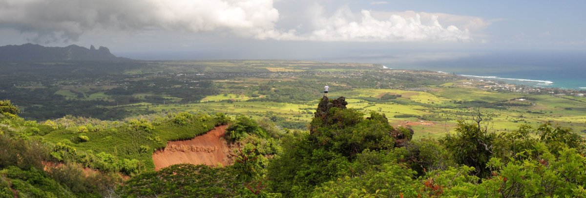
Continuing along the now winding and narrow road towards the mountains, one passes Kuilau Ridge Trail, a very large and well-maintained trail that leads to a beautiful overlook of the mountains with a picnic table. The trail can often be muddy so be sure to bring the right footwear. In the right season edible berries can be found, however be careful to never sample forest foods without the guidance of a knowledgeable hiking guide. About 100 yards past the trailhead to Kuilau Ridge, Kuamo’o Rd ends at the Keahua Arboretum, which is a collection of native and introduced species that were planted by the University of Hawaii.
The cool mountain air here is refreshing and it is a perfect location for a picnic, as there are tables and facilities here. There are several freshwater pools to swim in, and the area is forested with monkey pod and mango trees. The most unique feature of the place is the exotic and fragrant Rainbow Eucalyptus, whose multi-hued bark with colors of bright green, blue, orange, purple and deep red become an even brighter coloration when the bark becomes wet in the misty mountain rain.
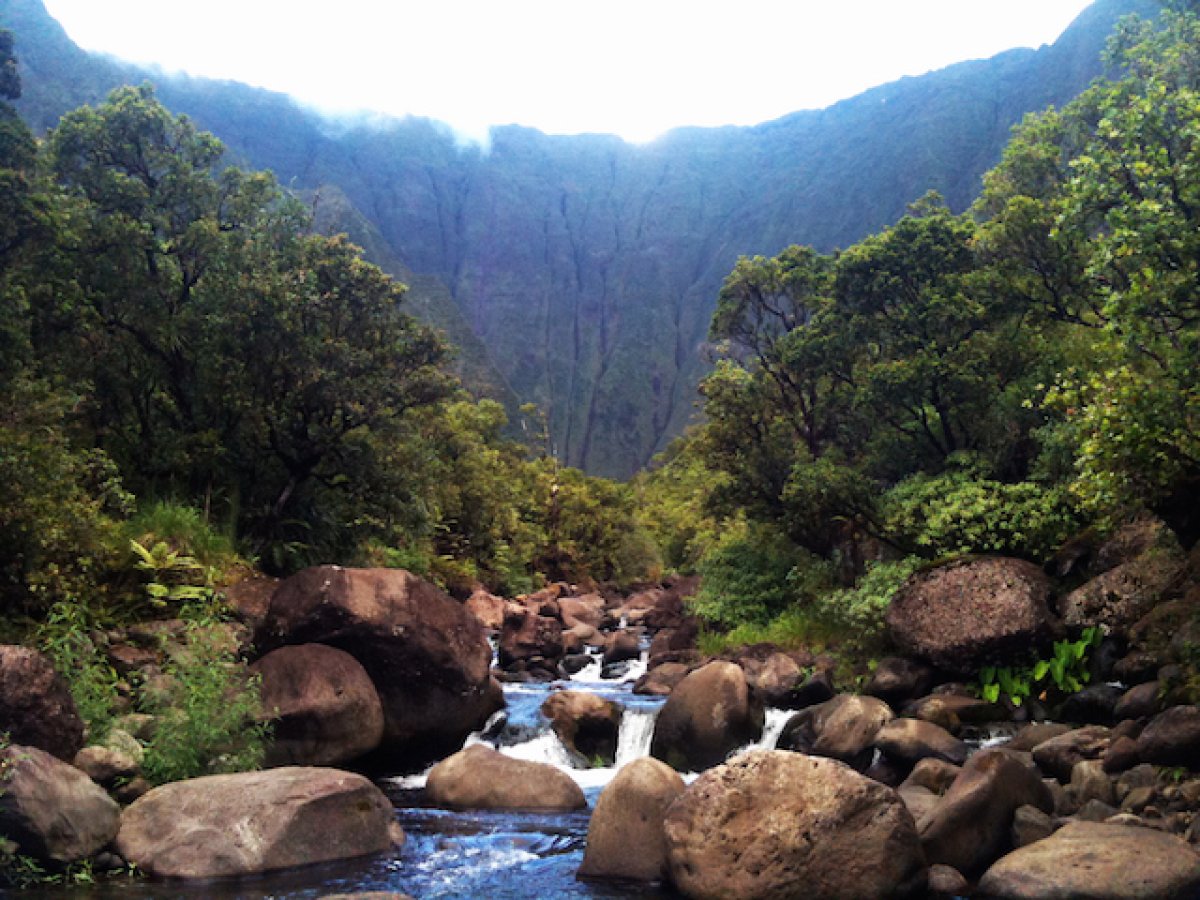
It is possible to continue on past here by driving or walking across Keahua Stream which flows directly across the road. On the other side of the stream, the road turns to dirt and is called Loop Rd. Five miles of bumpy, muddy, car destroying road brings you to the Jurassic Park Gates. A short walk further brings you to the wier, which is where the road ends. There is a very rough trail that follows the river all the way to the base of Mt Wai’ale’ale, but it is recommended to only pursue this trail with an experienced Kauai hiking guide.
The Great Sacred Wailua is a place to ideally take in slowly, over the good part of a day or two, as there are so many interesting things to experience. It is truly a step back in time to old Hawaii – a time where people lived sustainably with the resources in their environment.