We may earn a commission when you book or buy through links on this page.
Captain Cook Monument
Located within the West Region on Kauai
Captain Cook Monument in Waimea
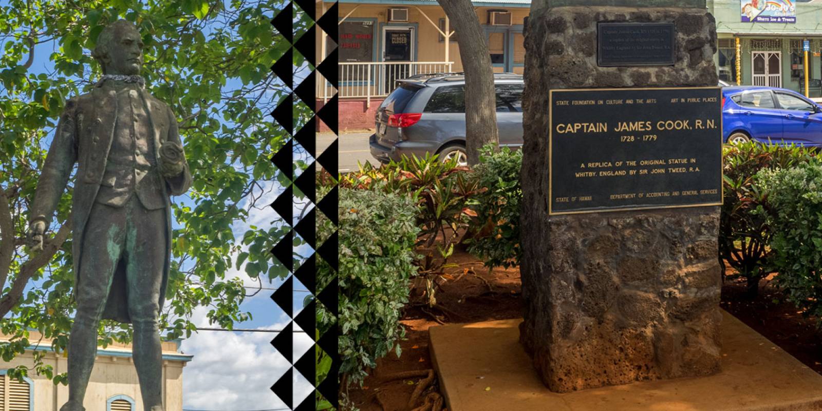
On January 20, 1778, Captain James Cook sailed into Waimea Bay and became the first European to make contact with the Hawaiian Islands. A statue in downtown Waimea marks the approximate landing spot.
The Monument
The statue is a replica of the original that stands in Whitby, England, the port where Cook trained as a seaman. The British government gifted it to the town of Waimea. It is a modest monument near the water, depicting Cook in his captain's uniform.
A plaque provides basic historical context. The whole stop takes five minutes unless you want to read and reflect on the significance of first contact between Europeans and Hawaiians.
Cook's Story in Hawaii
Cook named the archipelago the "Sandwich Islands" after his patron, the Earl of Sandwich. After his initial landing at Waimea, he sailed on to explore the other Hawaiian islands. He returned to the Big Island in 1779, where a dispute over a stolen boat escalated into a fatal confrontation at Kealakekua Bay.
The legacy of Cook's arrival is complicated. First contact brought trade goods and new technologies, but also introduced diseases that devastated the Native Hawaiian population in the decades that followed.
While You're in Waimea
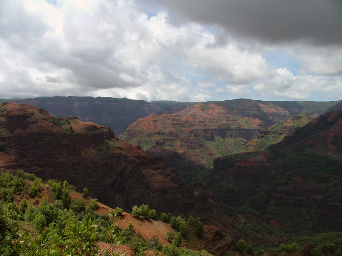
The monument is in downtown Waimea, right off Highway 50. A handful of plate-lunch counters and food trucks in town make it an easy meal stop. From here, it is a short drive to Russian Fort Elisabeth and the Menehune Ditch. Most visitors stop in Waimea on their way up to Waimea Canyon, so you can hit all four in a single morning. Waimea is also a smart place to gas up before the drive — you won't find a station on the way up the canyon.
Explore smarter
Turn this stop into a better day plan.
Use maps, timing, access checks, and current conditions before adding another stop to the route.
Founder & certified Hawai'i travel expert with 20+ years in Hawai'i tourism, University of South Carolina climate-research training, and NOAA weather-station experience.
Heavy rain from the past day is clearing out tonight. You'll see scattered showers Friday morning—lighter and less frequent than what came through—then dry trade winds move in and stick around through at least the middle of next week.
Windward and upland areas will still catch occasional brief showers even as things dry out, but leeward sides turn partly cloudy to mostly clear. Moderate surf holds on south, north, and west-facing beaches through the weekend, close to warning strength. Winds stay gusty through Friday as the system pulls away, then ease once the trades lock in.
Beach days and snorkeling on leeward shores start looking good Saturday. Summit trips and exposed hikes are best waited until winds ease this weekend.
0:000:55
Voice
Read the transcript
Heavy rain from the past 24 hours is ending tonight. You'll catch scattered showers through Friday morning—lighter and thinner than what just passed. Trade winds take over after Friday and hold steady through the middle of next week, bringing drier conditions and partly cloudy to mostly clear skies on the leeward side.
Windward areas will still see brief showers even as things dry out. Moderate surf hits south, north, and west-facing beaches through the weekend, close to warning levels on the south shore but not quite there. Gusty winds persist tonight and Friday, especially near mountains and exposed coasts, then ease once the trades settle.
Leeward beaches and snorkeling spots turn prime starting Saturday. Save the summit drive and ridge hikes for when winds ease this weekend.
0:000:49
Voice
Read the transcript
Heavy rain from the past 24 hours is ending tonight. You'll see scattered showers through Friday morning, but they're tapering off and becoming lighter. After Friday, dry trade winds settle in and hold through at least the middle of next week. Windward and upland areas will still catch occasional brief showers, but leeward sides turn partly cloudy to mostly clear. Moderate surf is on south, north, and west-facing beaches through the weekend—close to warning levels. Winds stay gusty through Friday as the system moves away, then ease once trades settle in. Plan leeward beach days and snorkeling for Saturday onward. Summit trips and exposed hikes are best waited until winds ease this weekend.
0:000:54
Voice
Read the transcript
Heavy rain from the past 24 hours is ending tonight. You'll catch scattered showers through Friday morning—lighter and brief—then trade winds move in and dry things out through at least the middle of next week.
Windward and upland spots will still see occasional showers even as conditions clear, but expect partly cloudy to mostly clear skies on leeward sides. Moderate surf holds on the south, north, and west-facing beaches through the weekend, close to warning levels but not quite there. Winds stay gusty tonight and Friday near the mountains and coast, then settle once the trades take hold.
If you're planning beach time, leeward shores are your best bet starting Saturday. Summit trips and exposed hikes are best waited until winds ease this weekend.
Created with AI from the official NWS forecast discussion · verify with NWS before heading out