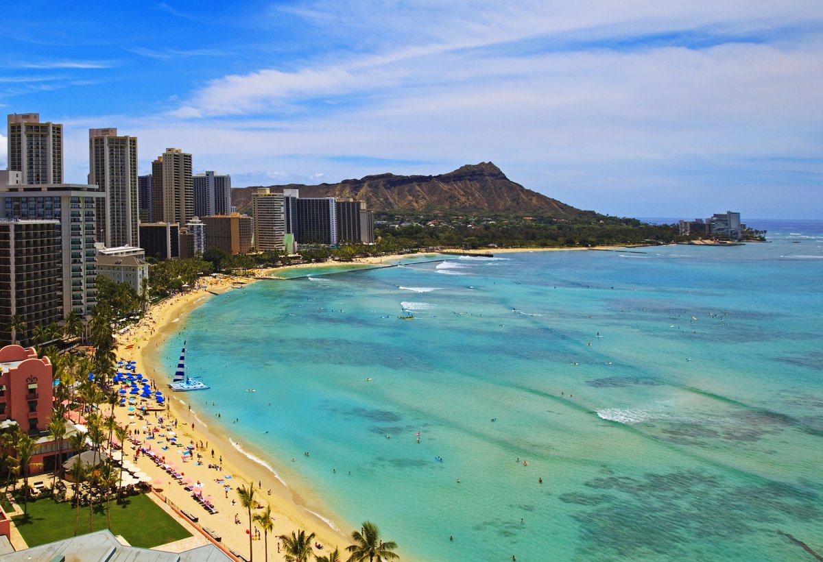
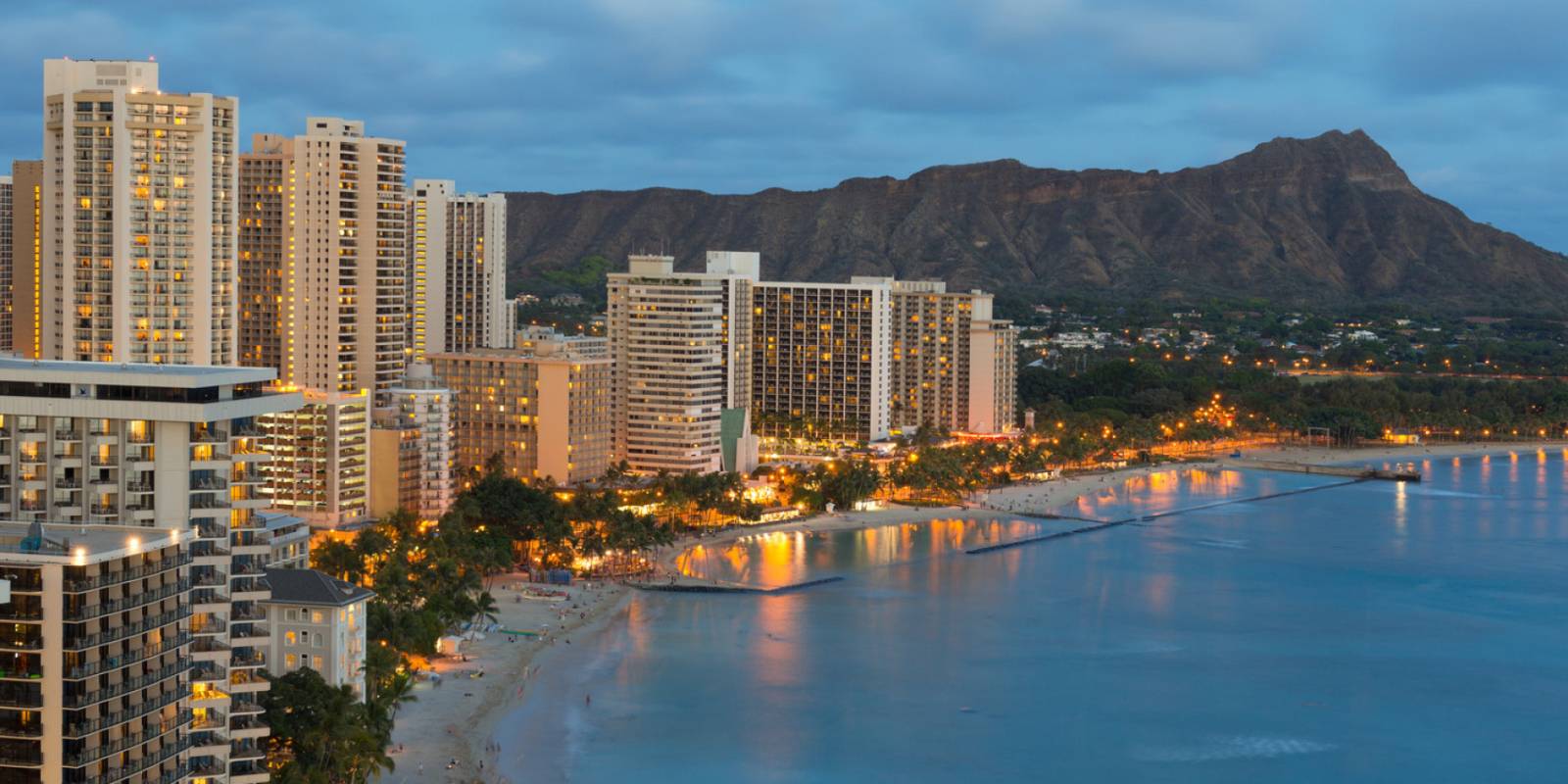
The HawaiiGuide Read: The Pink Palace is the most recognizable building on Waikīkī Beach, and you stay here for exactly that — old-Hawaiʻi glamour, a prime stretch of sand, and a property that feels like an event. Guest ratings run around 4.4 across more than 4,500 reviews: solidly good, not chart-topping. That gap tells the honest story — some rooms and corners show their age, and you're paying a premium for the icon, not for the newest finishes.
Best for: romantics, returning visitors who want the storybook version of Waikīkī, and anyone who plans to actually use the beachfront. Skip it if: you want maximum modern polish per dollar — the Halekulani next door scores higher for less theater.
Our read: nobody regrets one stay at the Royal Hawaiian; the question is whether you'd book a second. More options in our Waikīkī area guide.
How we write these: we look at the performance data across the whole spectrum of Hawaii properties — guest ratings, review patterns, location, value — and tell you our honest findings. Some booking links earn us a commission at no cost to you; the read itself isn't for sale.
Highlights
Pool
Spa
Restaurant
Bar
Room service
Hot tub
Photos
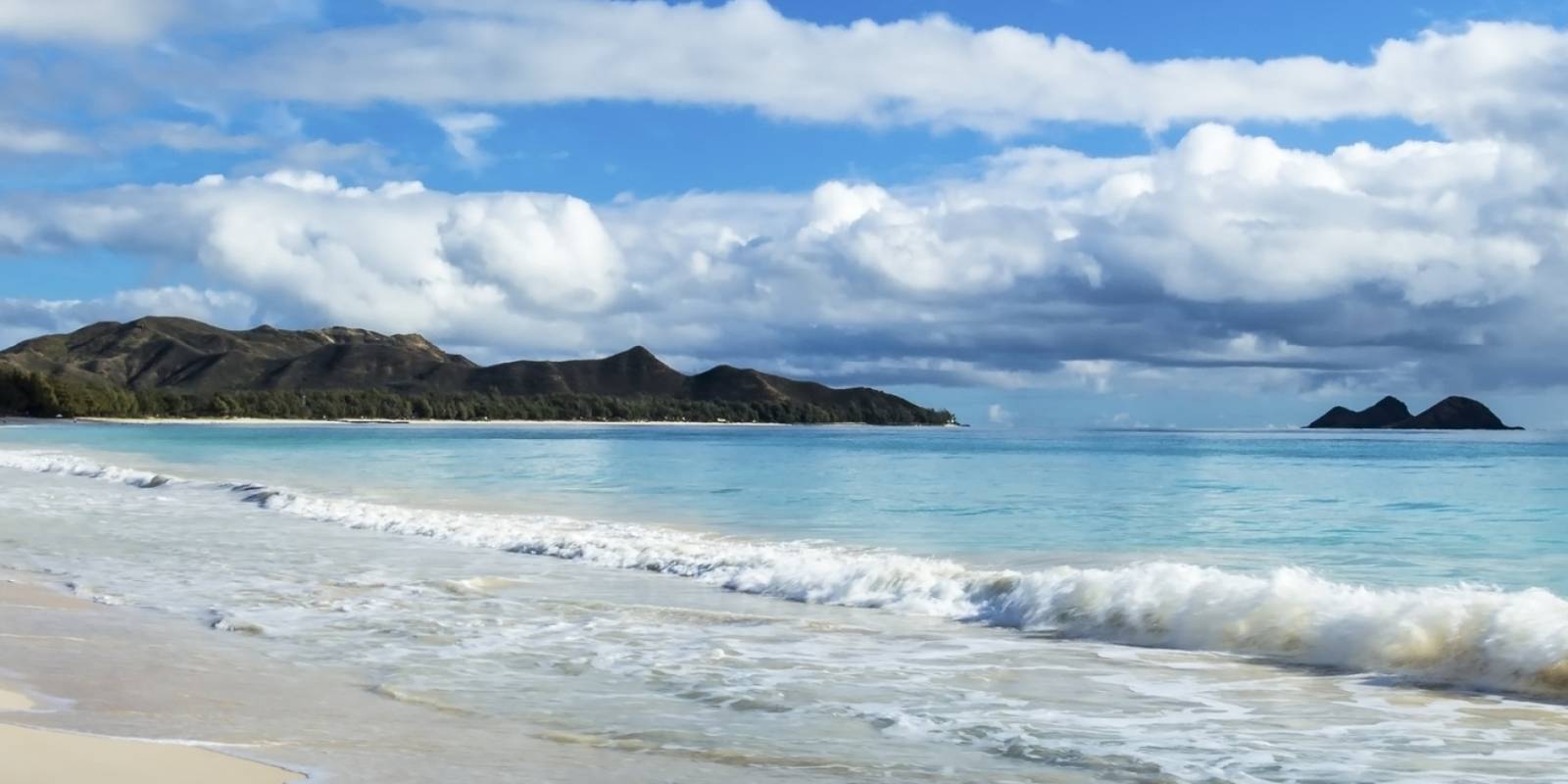
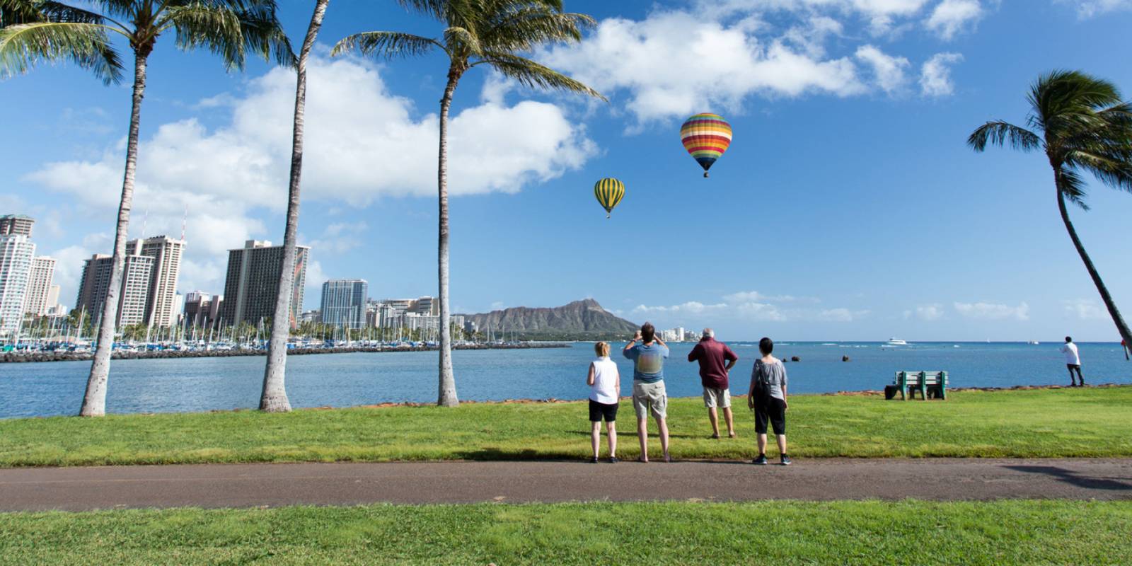
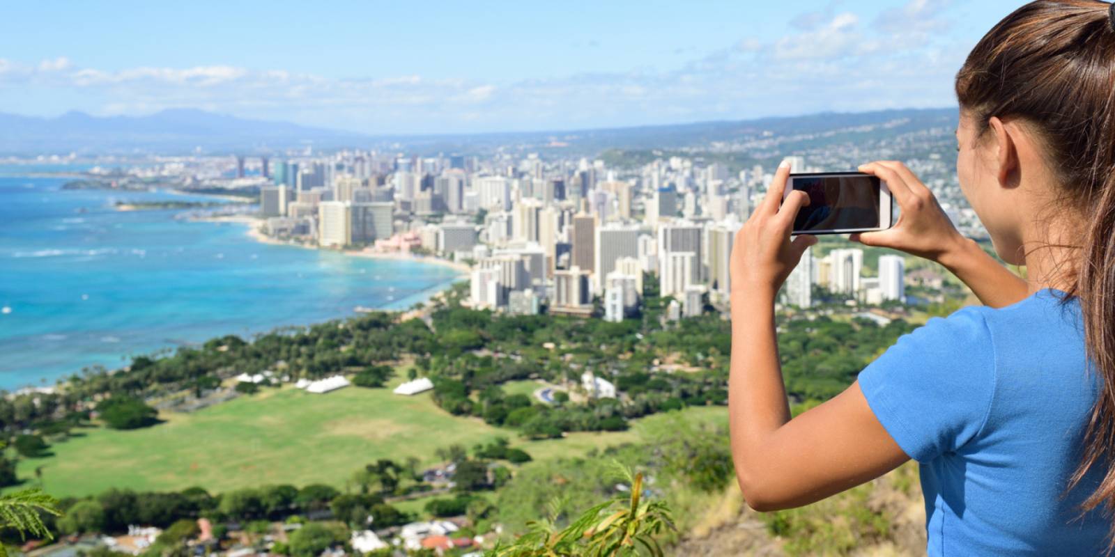
Photo:The Royal Hawaiian, a Luxury Collection Resort, WaikikiPhoto:The Royal Hawaiian, a Luxury Collection Resort, WaikikiPhoto:The Royal Hawaiian, a Luxury Collection Resort, WaikikiPhoto:The Royal Hawaiian, a Luxury Collection Resort, WaikikiPhoto:The Royal Hawaiian, a Luxury Collection Resort, Waikiki
Mostly dry this morning with light to moderate trade winds, a few showers over windward and mountain slopes. Winds weaken and turn south tonight into Wednesday as a low-pressure system develops north of the islands, starting a wet stretch.
Wednesday afternoon through Friday, rain increases across the island, heaviest on south-facing slopes and coasts. Isolated thunderstorms are possible Wednesday night into Thursday. Rain timing and intensity depend on where the rainband sets up. No flood watch is in place yet, but conditions will be wet. Saturday and Sunday clear out as normal trade winds return.
Beach and water activities work best today and early Wednesday; plan indoor time for Wednesday through Friday as rain increases. Save hiking and summit drives for the weekend.
0:000:52
Voice
Read the transcript
Mostly dry right now with light to moderate trade winds. South-facing shores have elevated surf near advisory levels through tonight.
Winds weaken and shift south starting tonight into Wednesday as a low-pressure system develops north of the islands. Wednesday afternoon through Friday, showers and rain increase across Maui, heaviest on south-facing slopes and coasts. Isolated thunderstorms are possible Wednesday night into Thursday. Rain intensity and timing remain uncertain depending on where a rainband sets up—conditions will stay wet and may limit activity.
Saturday into Sunday, normal trade winds return and rain clears. Beach and water activities work best today and early Wednesday; plan indoor time for the wet stretch ahead. Hiking and summit trips are better suited for the weekend.
0:000:44
Voice
Read the transcript
Mostly dry this morning with light to moderate trade winds. Windward and mountain slopes have a few scattered showers.
Winds weaken and turn southerly tonight into Wednesday, and rain increases Wednesday through Friday across the island—heaviest on south-facing slopes and coasts. Isolated thunderstorms are possible Wednesday night into Thursday. Timing and intensity depend on exactly where the rain sets up and how long it lingers. Saturday and Sunday clear out and trade winds return to normal.
Get your beach time in today and early Wednesday morning. Plan indoor activities for the wet stretch, and save hiking and summit drives for Saturday.
0:000:53
Voice
Read the transcript
Mostly dry right now with light to moderate trade winds. Windward and mountain areas have a few scattered showers, but south-facing shores have elevated surf near advisory levels through tonight.
Starting Wednesday, winds weaken and turn south as a low-pressure system develops north of the islands. Rain will increase, heaviest on south-facing slopes and coasts. Isolated thunderstorms are possible Wednesday night into Thursday. Rain intensity and timing are uncertain—it depends on where a rainband sets up and how long it lingers. Saturday and Sunday, normal trade winds return and rain clears out.
Beach and water activities work best today and early Wednesday. Move indoor or covered plans to Wednesday through Friday as rain picks up. Save hiking and summit drives for the weekend.
Created with AI from the official NWS forecast discussion · verify with NWS before heading out
Created with AI from this HawaiiGuide page and read by a computer-generated voice. Double-check fees, hours, and reservations on the full page before you head out. Hawaiian pronunciation is tricky for synthesized speech and a few words may land slightly off; mahalo for your patience as we keep refining.
Mele and Kani are computer-generated voice options chosen for clarity and warmth.
Get Your Free Hawaii Visitor Guide
Enter your email and we'll send you instant access to our free 2026 Hawaii Starter Guide + Summary Guidesheets.