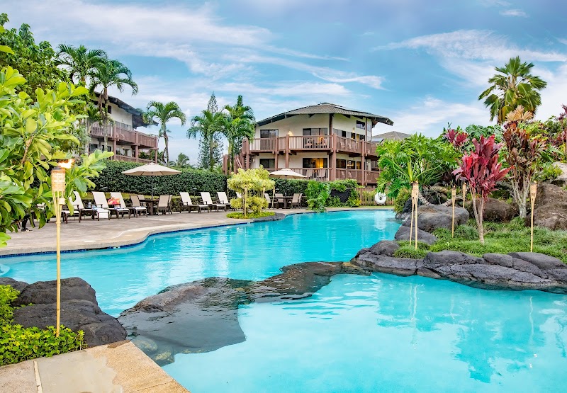
1 Hotel Hanalei Bay (formerly St.Regis Princeville)
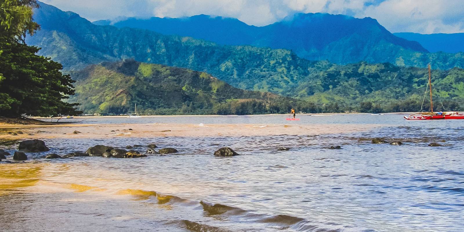
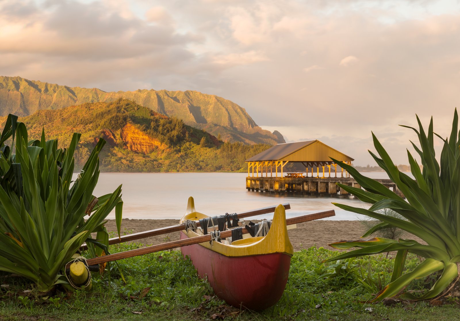
The HawaiiGuide Read: The single best view from any hotel in Hawaiʻi — straight down Hanalei Bay to the mountains — now wearing its third name. The former St. Regis Princeville reopened as 1 Hotel Hanalei Bay after a wellness-minded rebuild, and guest ratings around 4.6 say the reinvention took. The spa-and-sustainability positioning is genuine, the rooms are serene, and that view does not care what the sign says.
Best for: honeymoons, milestone trips, and summer stays when the North Shore is at its calm, swimmable best. Skip it if: you're visiting in deep winter expecting beach days — the north gets the season's rain and surf, as our North Shore guide explains.
Our read: the North Shore splurge, full stop — time it to the season and it's untouchable.
How we write these: we look at the performance data across the whole spectrum of Hawaii properties — guest ratings, review patterns, location, value — and tell you our honest findings. Some booking links earn us a commission at no cost to you; the read itself isn't for sale.
Highlights
Pool
Spa
Hot tub
Beach access
Free WiFi
Restaurant
Photos
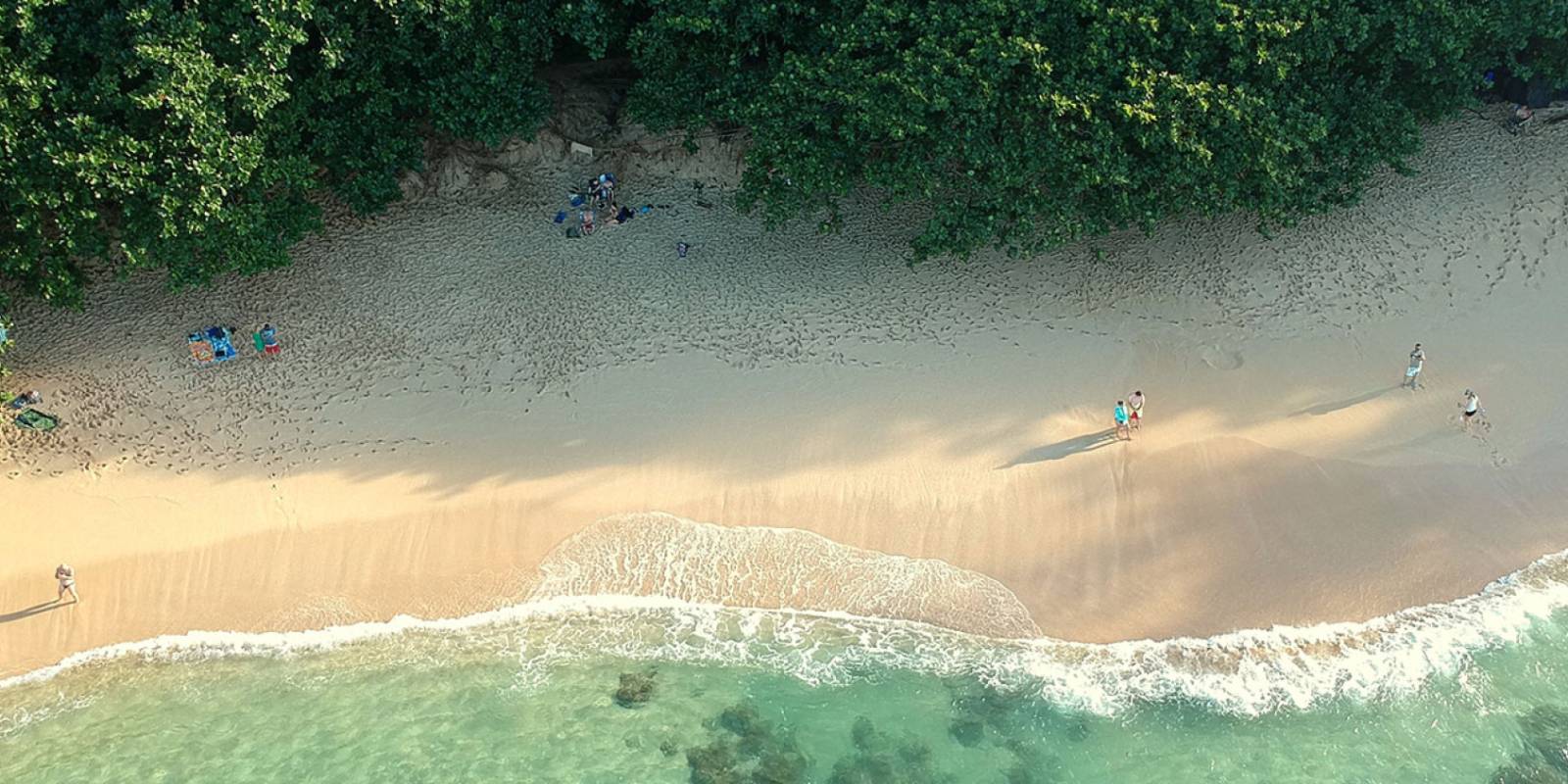
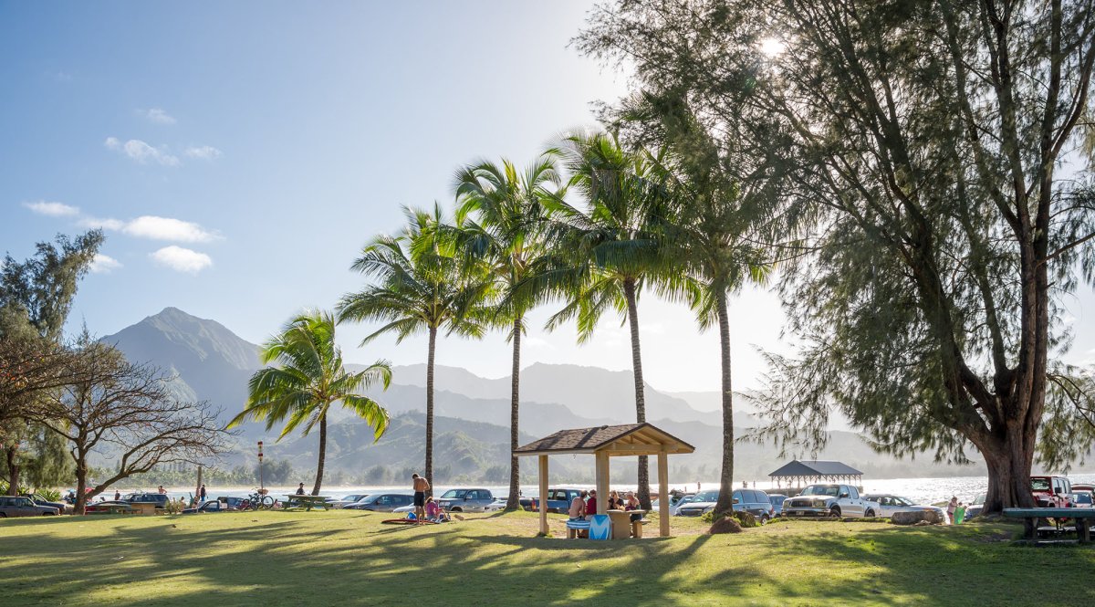
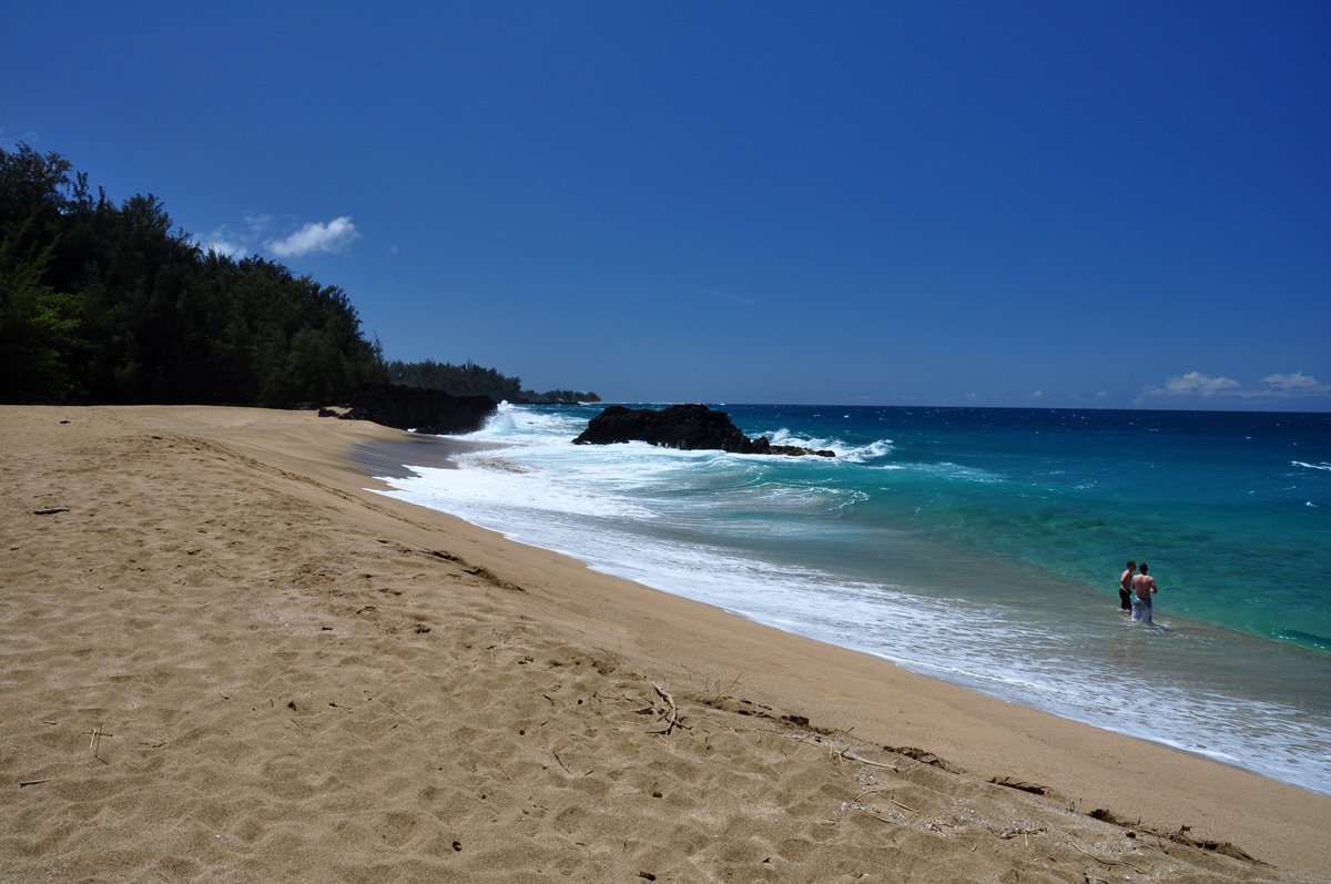
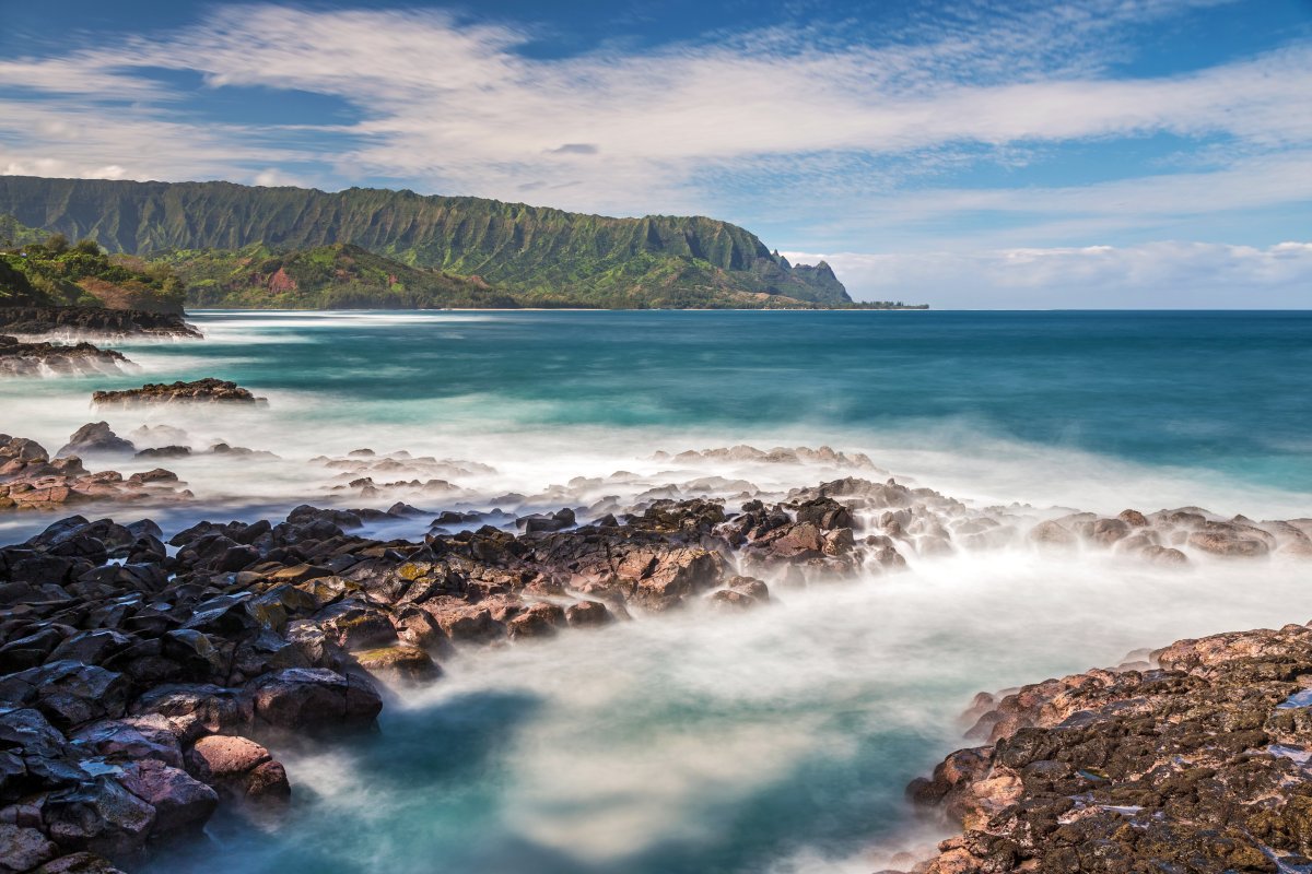
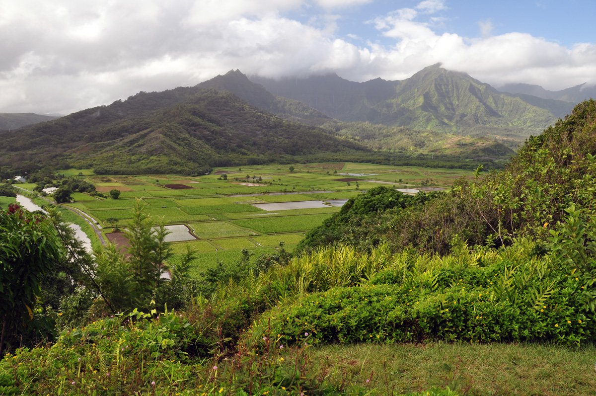
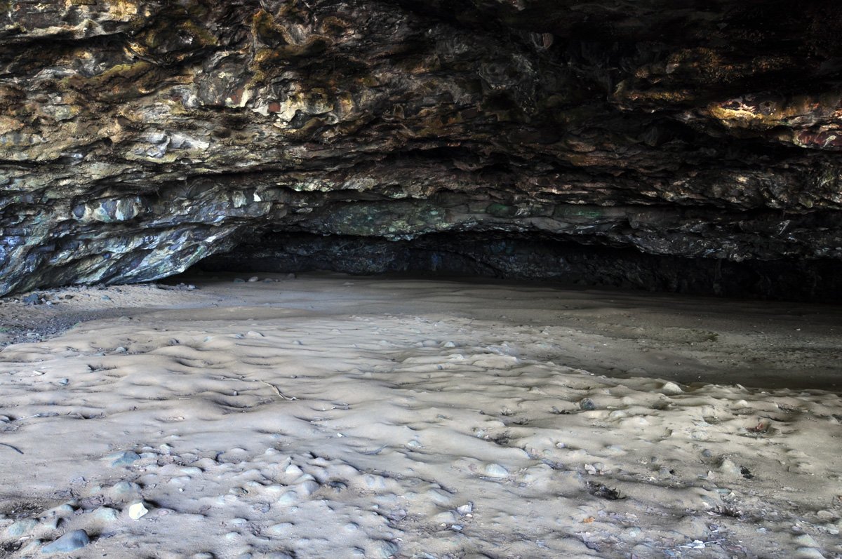
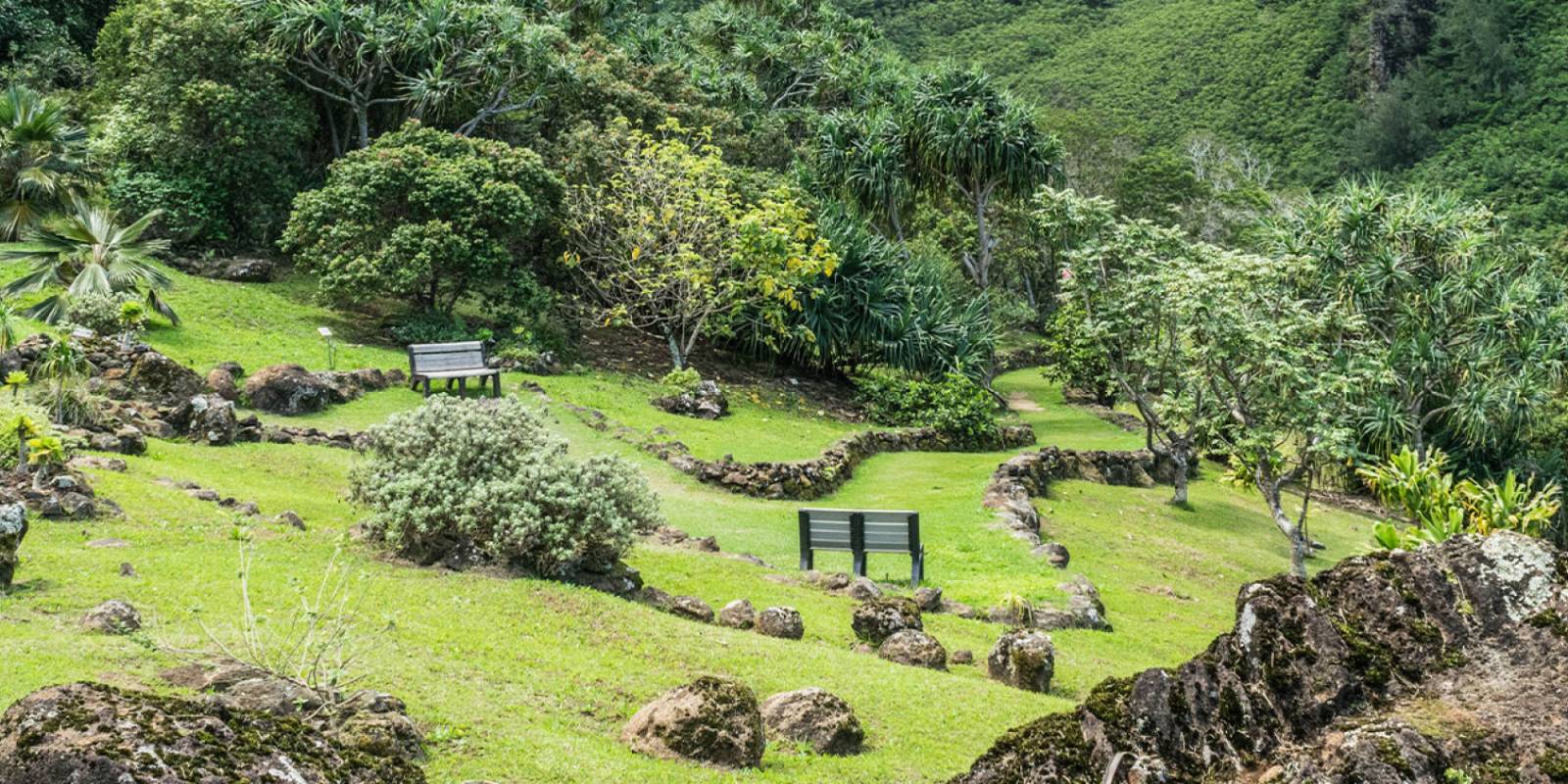
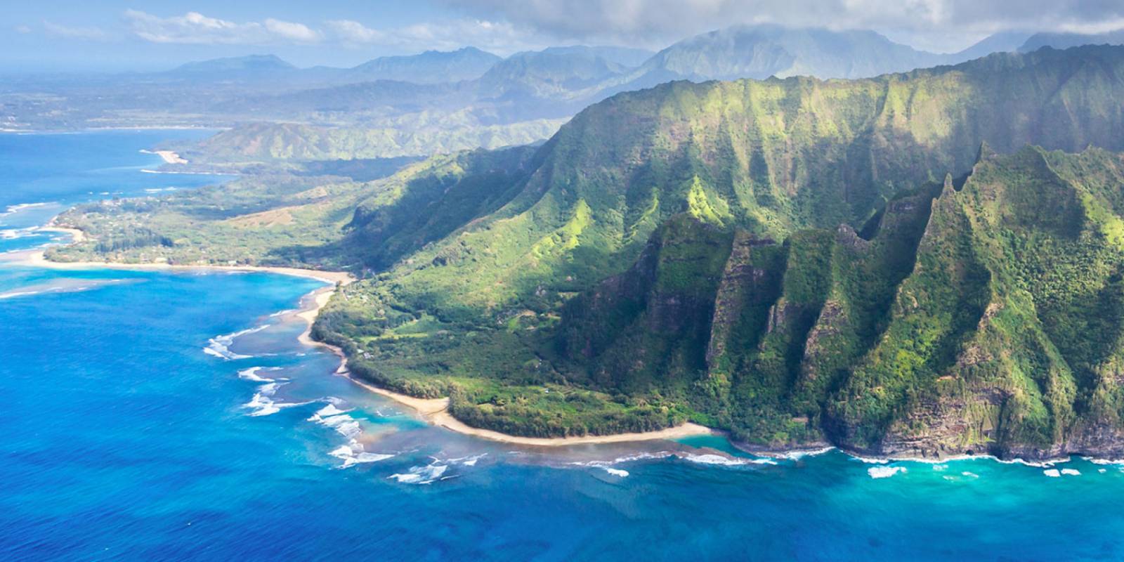
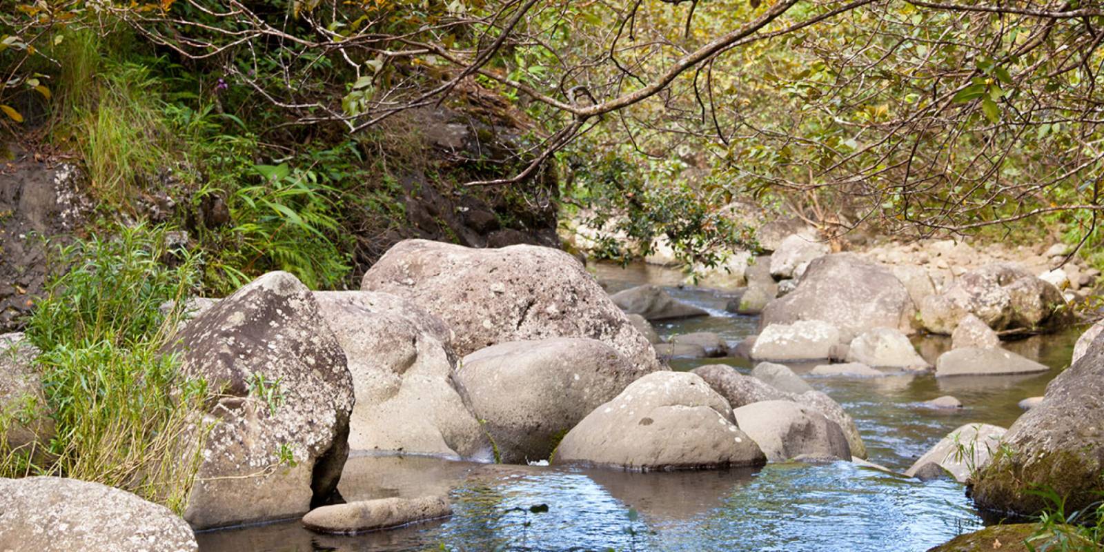
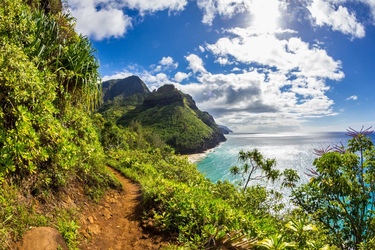
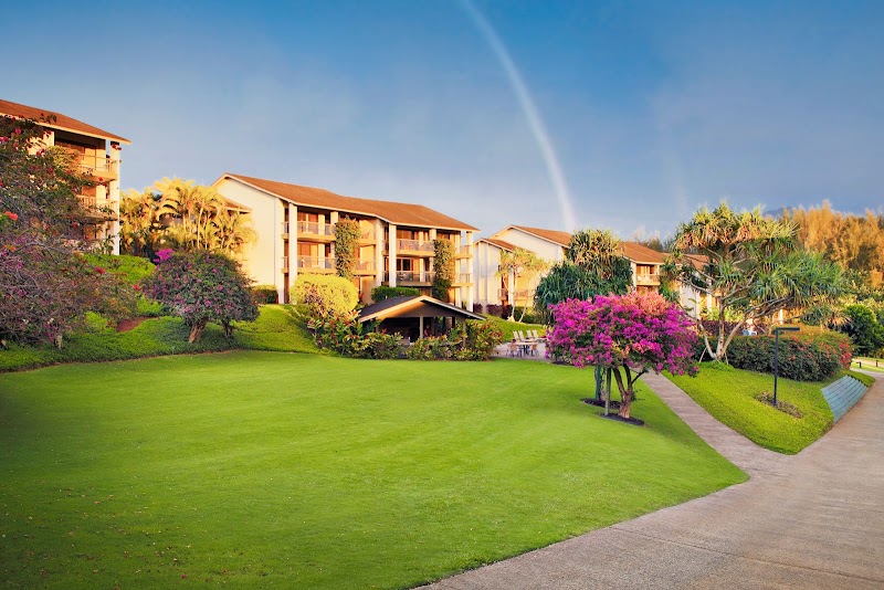
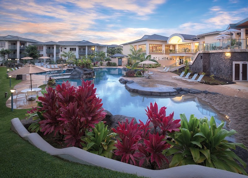
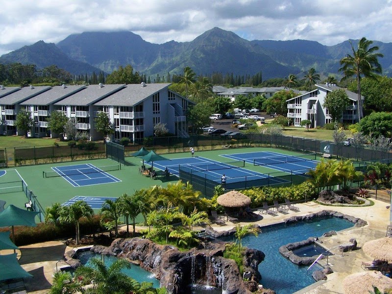
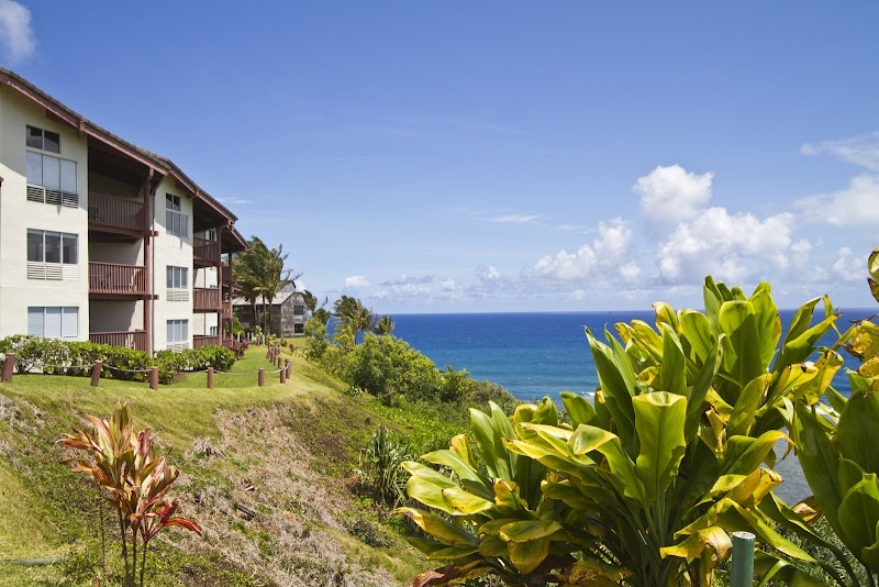
Photo:1 Hotel Hanalei BayPhoto:1 Hotel Hanalei BayPhoto:Susie PennerPhoto:1 Hotel Hanalei BayPhoto:1 Hotel Hanalei Bay
Mostly dry and breezy across Oʻahu today through Monday, with northeast winds holding steady and only light showers popping up on windward slopes. Leeward and resort areas stay dry.
Late Tuesday the pattern shifts. Winds drop and turn southerly, and tropical moisture moves in Wednesday through Friday—heavy rain will hit the islands, with potential flash flood conditions. Timing and intensity are still uncertain, but plan on wet weather. Ocean conditions will be choppy and elevated through Monday, then gradually ease midweek.
Hit the leeward beaches and snorkel sites Monday and Tuesday. Save indoor plans for Wednesday through Friday.
0:000:56
Voice
Read the transcript
Steady northeast winds and mostly dry skies today through Monday. Light showers may pop up on windward slopes and in the mountains, but leeward and resort areas stay mostly dry.
Late Tuesday the pattern shifts. Winds drop and turn southerly, then deep tropical moisture moves in Wednesday through Friday. Heavy rain is likely statewide from late Wednesday onward, with potential flash flood conditions—timing and intensity are still uncertain. Ocean conditions are rough and choppy through Monday on windward shores due to strong winds, then gradually ease mid-week. A slightly larger northwest swell peaks Wednesday, and a west swell from a distant typhoon may bring moderate surf to west-facing Big Island shores by Thursday.
Leeward beaches and snorkeling work well Monday and Tuesday. Save indoor plans for Wednesday through Friday.
0:000:52
Voice
Read the transcript
Steady northeast winds and mostly dry skies today through Monday, with only light showers scattered across windward slopes and the mountains. Leeward and resort areas stay dry. Ocean conditions are rough and choppy—a Small Craft Advisory is in effect through Monday evening.
Late Tuesday brings a shift. Winds drop and turn southerly, and tropical moisture moves in Wednesday through Friday. Plan for heavy rain and potential flash flooding from late Wednesday onward. Timing and intensity are still uncertain. Surf will ease mid-week, though a northwest swell peaks Wednesday and a distant typhoon may send moderate west swell to west-facing shores by Thursday.
Leeward beaches are your play Monday and Tuesday. Plan indoor activities starting Wednesday when the rain arrives.
0:000:50
Voice
Read the transcript
Steady northeast winds are pushing cool, dry air across Kauaʻi right now. Light showers will pop up mainly on windward slopes and mountains through Monday, but leeward and resort areas stay mostly dry.
A pattern shift arrives late Tuesday. Winds will drop and turn southerly, and deep tropical moisture will move in Wednesday through Friday. Heavy rain is likely statewide from late Wednesday onward, with potential flash flood conditions—timing and intensity details are still uncertain. Surf will be choppy and elevated through Monday due to strong winds, then gradually ease mid-week before a slightly larger northwest swell peaks Wednesday.
Leeward beaches and snorkeling are best Monday and Tuesday. Plan indoor activities for Wednesday through Friday.
Created with AI from the official NWS forecast discussion · verify with NWS before heading out
Created with AI from this HawaiiGuide page and read by a computer-generated voice. Double-check fees, hours, and reservations on the full page before you head out. Hawaiian pronunciation is tricky for synthesized speech and a few words may land slightly off; mahalo for your patience as we keep refining.
Mele and Kani are computer-generated voice options chosen for clarity and warmth.
Get Your Free Hawaii Visitor Guide
Enter your email and we'll send you instant access to our free 2026 Hawaii Starter Guide + Summary Guidesheets.