
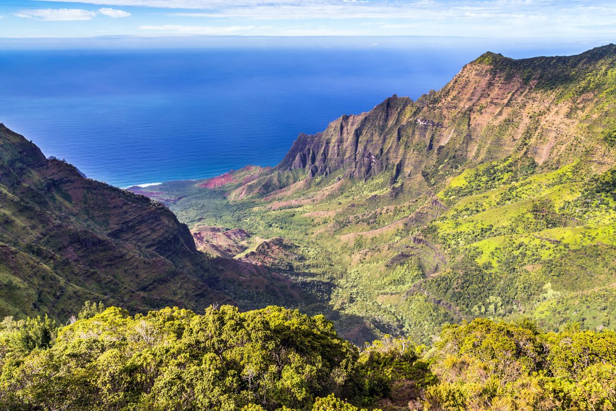


HawaiiGuide’s Near Me page can help you discover a next stop. Before you turn the car toward a nearby result, check how the roads connect. Our geographic-distance calculation between the reference points for Hanalei Beach Park and Kalalau Lookout shows why: 9.9 miles between two points is not a 9.9-mile drive.
November 7, 2026 park reopening: DLNR’s November 7, 2026 notice confirms Kōkeʻe and Waimea Canyon State Parks reopened for daylight visits with reduced services. Some facilities and trails are still being reopened; the notice does not confirm every trail or lookout is accessible. HDOT still lists Route 550 open to Waimea Canyon Lookout with local-only access beyond it, and DLNR retains older road-closure wording alongside its newer park-reopening notice. Confirm the permitted route before driving and follow posted controls. Nearby on a map does not establish legal or practical access.
What the 9.9 miles actually measure
For this comparison, calculate geographic distance over a sphere from two coordinate pairs. This model does not trace roads or account for traffic and closures.
For this example, use these two reference points from HawaiiGuide’s published attraction data:
| Reference point | Latitude, longitude |
|---|---|
| Hanalei Beach Park | 22.2088, −159.5039 |
| Kalalau Lookout | 22.1505, −159.6451 |
Reproduce the calculation: use the Haversine formula with the two points above and an assumed spherical Earth radius of 3,959 miles. The result is approximately 9.892 miles, rounded here to 9.9 miles. These are the published reference coordinates checked October 15, 2026, not a traveler’s observed GPS position. The result is a geographic model, not measured road mileage or a driving-time estimate.
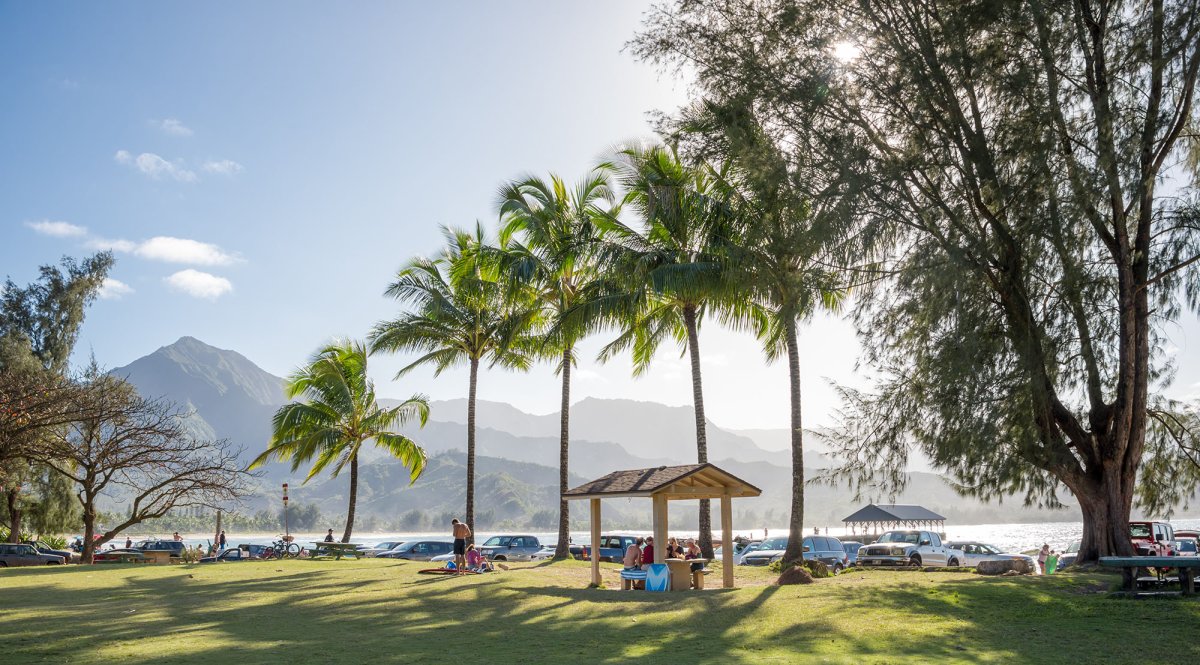
Hanalei Beach Park is the starting reference point in this example. The model uses a point, not a route out of the park.
Look at the road connection
Kalalau Lookout sits at the northern edge of Kōkeʻe State Park on Kauaʻi’s West Side. Hanalei is on the North Shore. Those labels matter more to this decision than the small distance number.
GoHawaii’s island driving map shows the separate North Shore and Kōkeʻe approaches. There is no road continuing along the Nāpali Coast to join them. Use that map for the road layout; its older drive-time estimates are not current trip guidance.
The calculation can place two points close together while the roads take a different path. A nearby result earns a closer look at the map. It does not establish that you can fit the stop before dinner or your next booking.
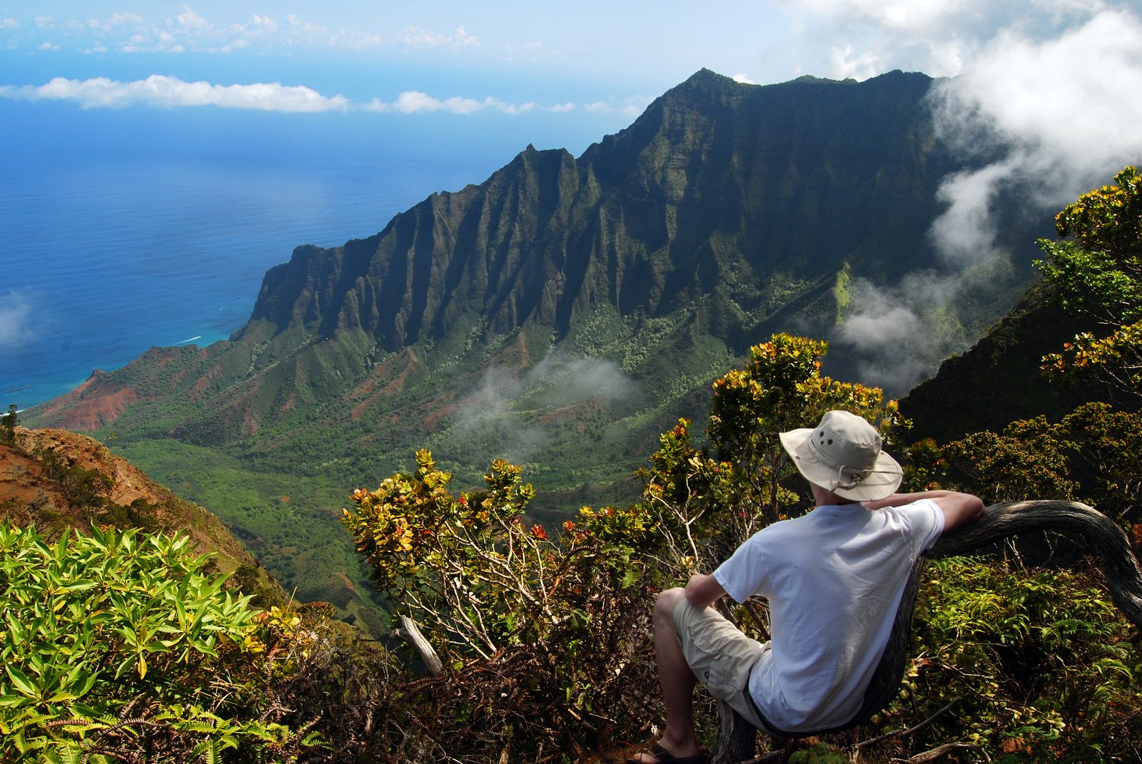
Kalalau Valley in the HawaiiGuide founder photo archive. Geographic distance does not describe the road approach through this landscape.
Choose the stop after checking the route
Read the place guide for the result that interests you. Check the managing agency’s current access notice. Then open driving directions for the exact destination and inspect the route before committing. A route shown on a map does not override an official closure.
Count the return leg and the time you need at your next fixed booking. If the route consumes the time you meant to spend at the destination, keep looking closer along the roads you can use. The list is a starting point for that choice.
Our Getting Around Kauai guide explains the broader road network. Keep Near Me for discovering candidates, and make the next-stop decision with access and the route in view.
Plan the route before the stop
Use the distance result alongside the island’s road layout.


